


Hike to Tyvareset

Tyvareset, 1260 m.a.s.l..
Difficulty: Very demanding.
Distance: 5.5 km one way.
Elevation gain: 1,220 m.
Duration: 6.5 hours return.
Season: Summer–Autumn.
Parking: Parking is available beside Road 15 (Rv. 15), near the Jostedalsbreen National Park Centre.
Note: There may be a risk of avalanches in the valley early in the summer. During periods of heavy rainfall, rockfalls may occur.
There is no mobile phone coverage in the valley.
Please note: Dogs must be kept on a leash.

The route is not marked precisely on the map. You are responsible for finding a safe route yourself. In the final section of the hike, there is no clearly defined trail.
The hike to Fosdalssetra is described in Hike to Fosdalssetra.
Fosdalssetra
Hike description
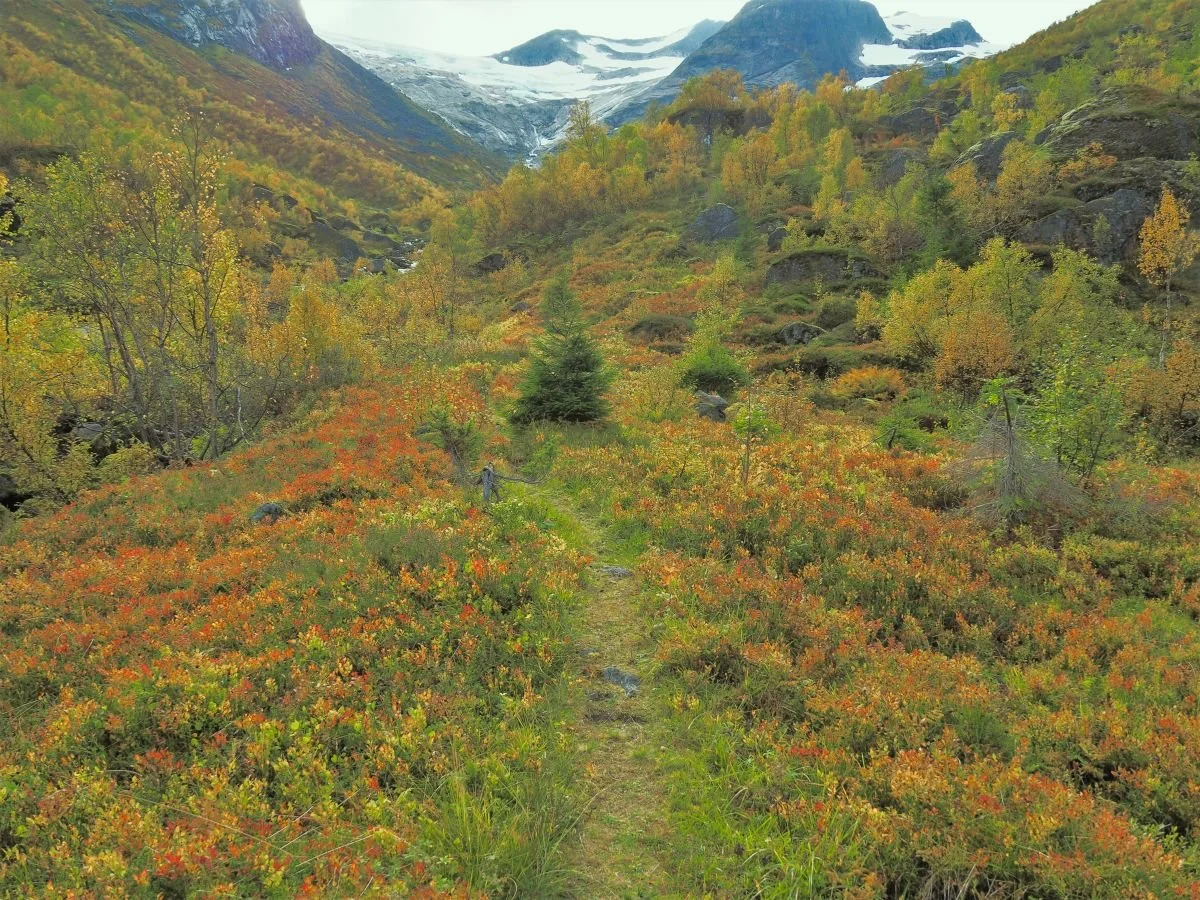
Fosdalen offers beautiful scenery and fascinating cultural heritage from earlier times. Summer farming ceased before the Second World War, and today the valley is used only for sheep grazing.
You can park beside Road 15 near the Jostedalsbreen National Park Centre. From the parking area, follow the farm track that runs alongside the Fosdøla River.
From the mountain pasture, a distinct path continues further into the valley. The path varies in quality, and in some places it winds its way through large boulder fields. Along the route, you will pass both Setreura and Iljestegura.
On the way to Bjønjalogjen
Bjønjalogjen
The name dates back to a time when bears were common in all our valleys, and many place names in the area still contain references to bears. (Bjønn means bear) The exact meaning of Bjønjalogjen is somewhat uncertain. It may refer to a place where bears used to lie or rest. The terrain certainly seems well suited for that purpose.
The trail beyond Bjønjalogjen
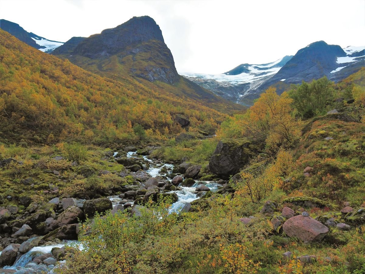
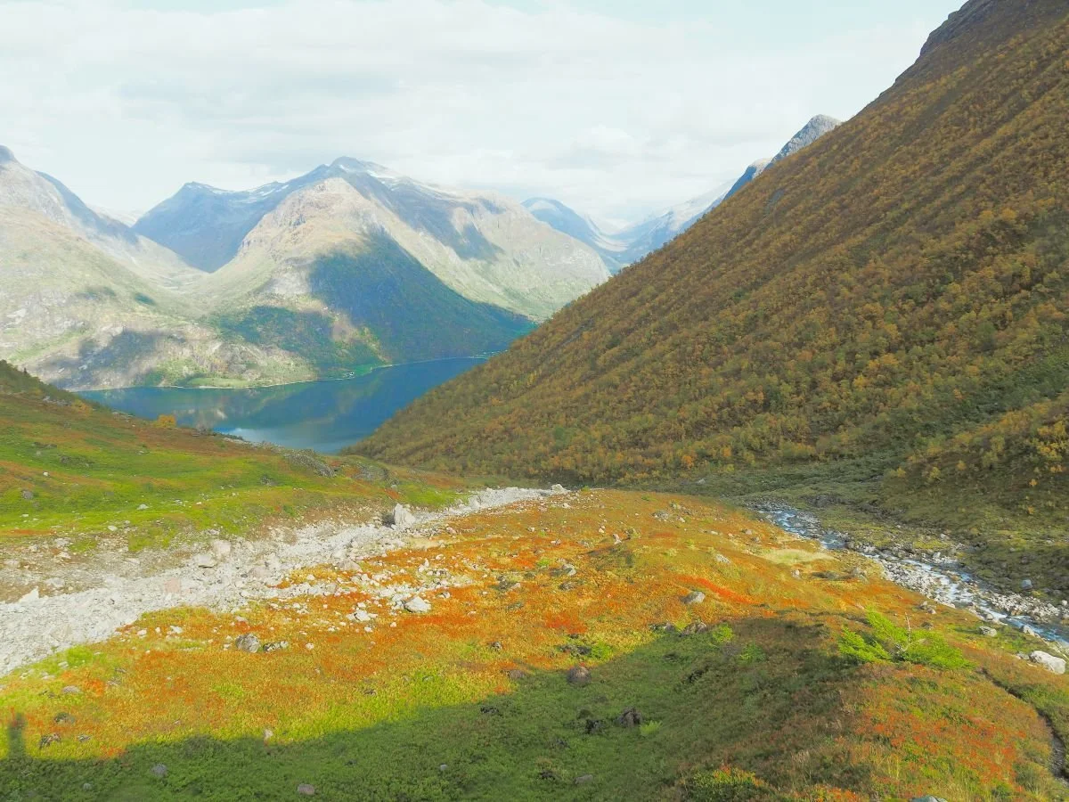
Fosdøla River
Fosdøla originates from several glaciers. In the centre of the picture, high on the horizon, you can see Fosdalsbreen. In the valley to the upper left of the image, Vesledalen, lies an arm of Skålabreen, and there are also several small cirque glaciers on the mountainside towards Tyvareset.
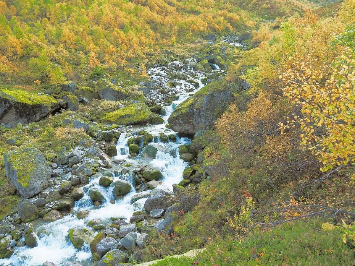
Fosdøla River
The trail continues into the valley on the western side of the river – the right-hand side.
Until recently, there was a simple bridge at Bjønjalogjen. Unfortunately, it was destroyed by flooding, and hikers must now continue much further into the valley before they can safely ford the river. Parts of the trail were also washed away.
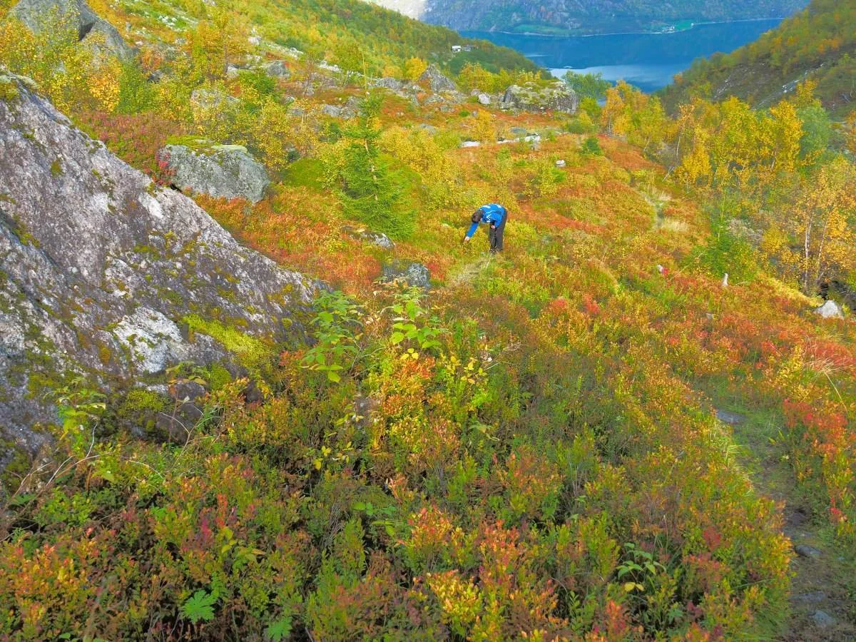
It is the deer and the sheep that keep the trail open. The terrain rises gradually, making for pleasant walking.
A few spruce trees have found their way this far up the valley. They are not naturally part of the landscape here and would probably be better removed.
In the background, you can catch a glimpse of Fosdalssetra.
The terrain rises steadily towards the head of the valley. The trail to Tyvareset turns right behind the moraine ridge known as Storskredrumpa.
The trail follows Storskredrumpa, the moraine ridge, uphill. This ridge is formed by avalanches descending from Sandvikfjellet over many years.
Storskredrumpa – “the tail of the great avalanche.”

Photo: Tarald Harstad
This photograph was taken on the descent from Kampen. It provides an excellent overview of the innermost part of Fosdalen.
The smooth, bare rock face on the far right is known as Flåna. The mountainside has been stripped of vegetation by repeated avalanches and rockfalls.
In the background to the right stands Storskredfjellet (1,815 m.a.s.l.), while Fosdalskyrkja (1,773 m.a.s.l.) can be seen to the left. Between them lies Tyvareset (1,260 m.a.s.l.).

Photo: Rannveig Marit Mindresunde
There is no distinct trail along the final section of the route.

Photo: Rannveig Marit Mindresunde
Tyvareset can be seen in the upper left. Follow the route along the rocky terrain.
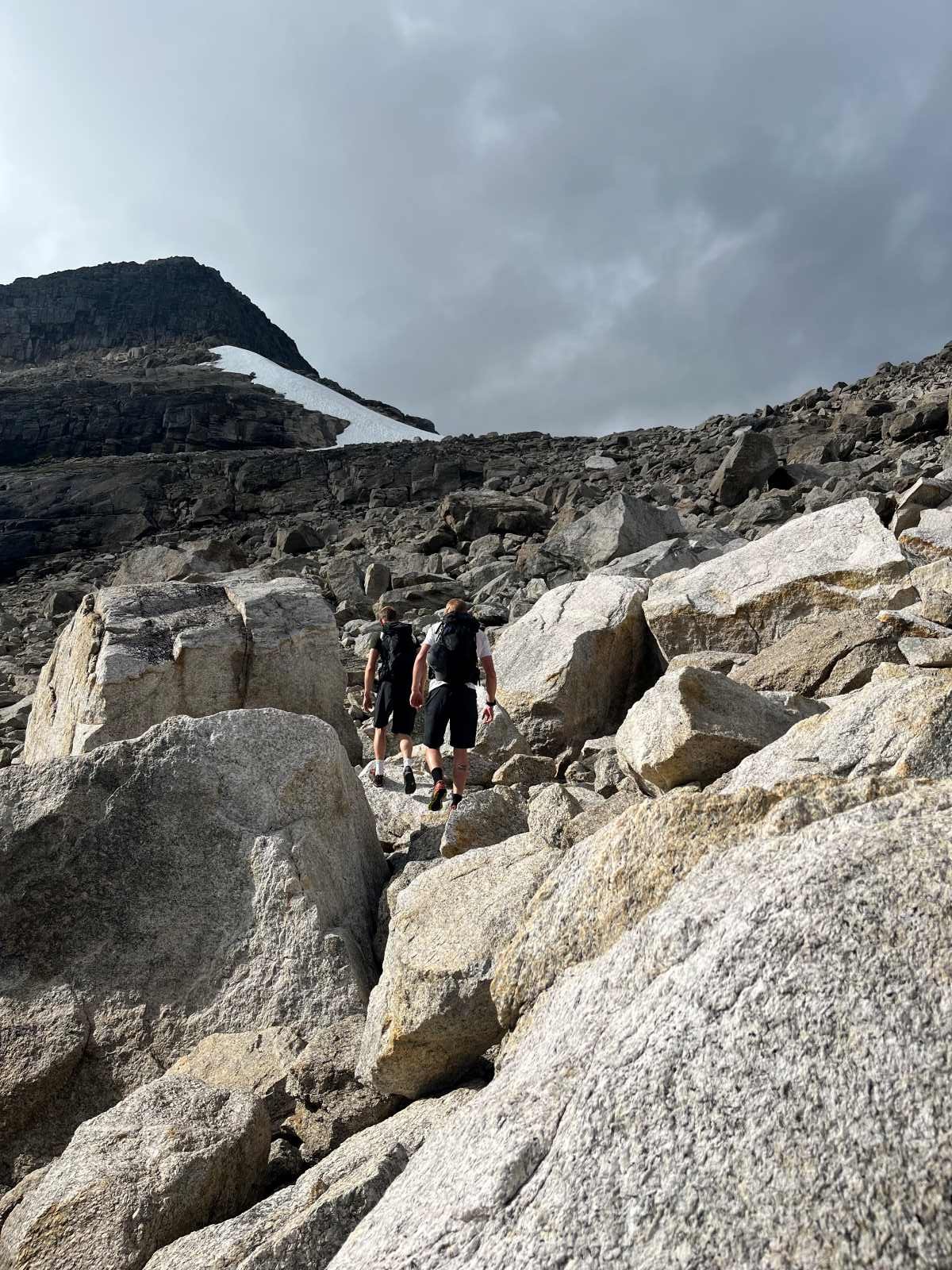
Photo: Tarald Harstad
The final stretch towards Tyvareset.
Photo: Tarald Harstad
Tyvareset – View towards Hjelledalen.

Photo: Tarald Harstad
Tyvareset – View towards Tyvadalen
In earlier times, it was not uncommon for people from Oppstryn to travel to Loen via Tyvareset, and for people from Loen to take the same route to Oppstryn. The distance was only about half as long as the road via Tonning, but the terrain is rough and the ascent demanding.
People from Loen refer to the valley on their side as Fosdalen, while those from Oppstryn use the name Tyvadalen.
The route across Tyvareset has seen little use in modern times. Old parish records tell of a man who is believed to have perished while crossing the pass. The record states:
“Around the middle of June 1832, the farmer David Andersen Skarsteen, about 30 years of age, disappeared on the glacier lying between Oppstryn and Loen. As soon as he was missed, a search was undertaken, but he could not be found. It is presumed that bad weather or unfamiliarity with the route caused his death.”
This account is a reminder that the crossing could be hazardous, particularly in poor weather or when travelling alone.

Image sourced from the Internet
The starting point for this hike in Fosdalen is located close to the Jostedalsbreen National Park Centre. We recommend visiting the centre for more information about the natural and cultural heritage of the area.
You can read more about the history and geology of Fosdalen here.
Text: Asbjørn Berge, 2026
Photos: Marit and Asbjørn Berge