


Hike to Marsåhyrna
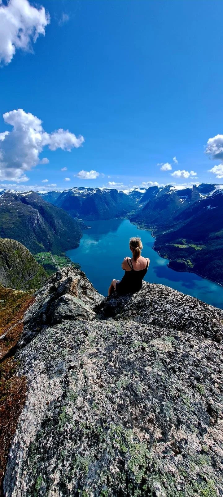
View from the summit of Marsåhyrna
The views from Marsåhyrna are among the finest you will find. From the summit, you are rewarded with magnificent panoramic views over both Oppstryn and Nedstryn.
The hike to the summit can be started either from Veslebygda via Furedalen or from Flo via Flofjellet. This description follows the route from Veslebygda.
Difficulty: Very challenging. The trail is well maintained up to the tree line.
Distance: 5.2 km one way, from the end of the forest road.
Elevation gain: 1,045 m
Duration: 8 hours return
Season: June - September
Parking: Parking is available at the end of the forest road.
Please note: The forest road is steep in places. To reach the trailhead safely, your vehicle should have good ground clearance and four-wheel drive.
There is no mobile phone coverage along the route.
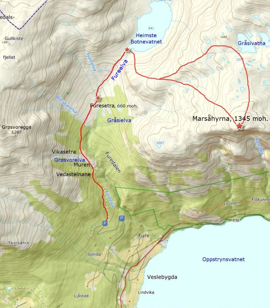
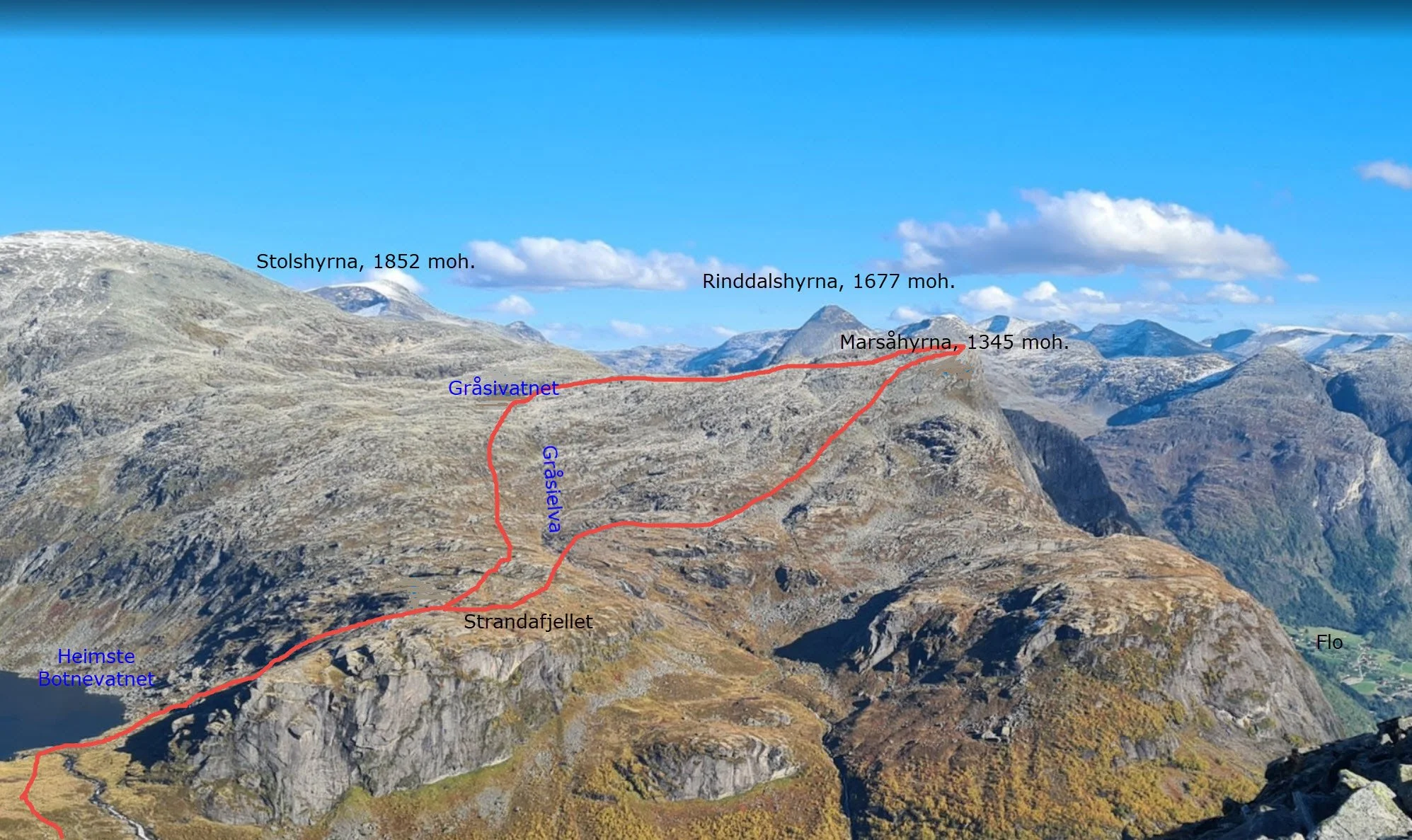
The photo and the map show two alternative routes to Marsåhyrna. It is recommended to make a circular walk by following one route up and the other back down.
Access
When you reach Veslebygda, turn left and drive uphill for just under one kilometre to the farm Sollida. From here, a forest road continues for about 1.3 km. The road is quite steep and the surface is uneven, but if your vehicle has four-wheel drive and good ground clearance, you can drive to the end of the road and park there.
Route description
The first part of the hike to Marsåhyrna follows the same route as the hike to Heimste Botnevatnet. See Hike to Heimste Botnevatnet.
At the outlet of Fureelva, it is possible to cross to the eastern side without getting too wet. A low stone dam has been built here to prevent fish from being carried downstream by the current. The dam also provides a convenient crossing of the river.
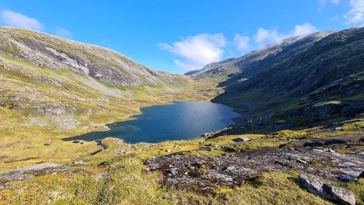
You can see Heimste Botnevatnet and the cabins that have been built in recent years. In the background, you can make out Fremste Botnevatnet. The stone dam that makes it possible to cross the River Fureelva is also visible.
After crossing Fureelva, follow the ridge as it climbs steadily uphill. After about 200 metres of ascent, the terrain becomes gentler as you reach Strandafjellet.
From here, you have two options. You can take the shorter, more direct route to Marsåhyrna, or continue along the ridge towards Gråsivatnet.
A circular hike is recommended – follow one route to the summit and return by the other.
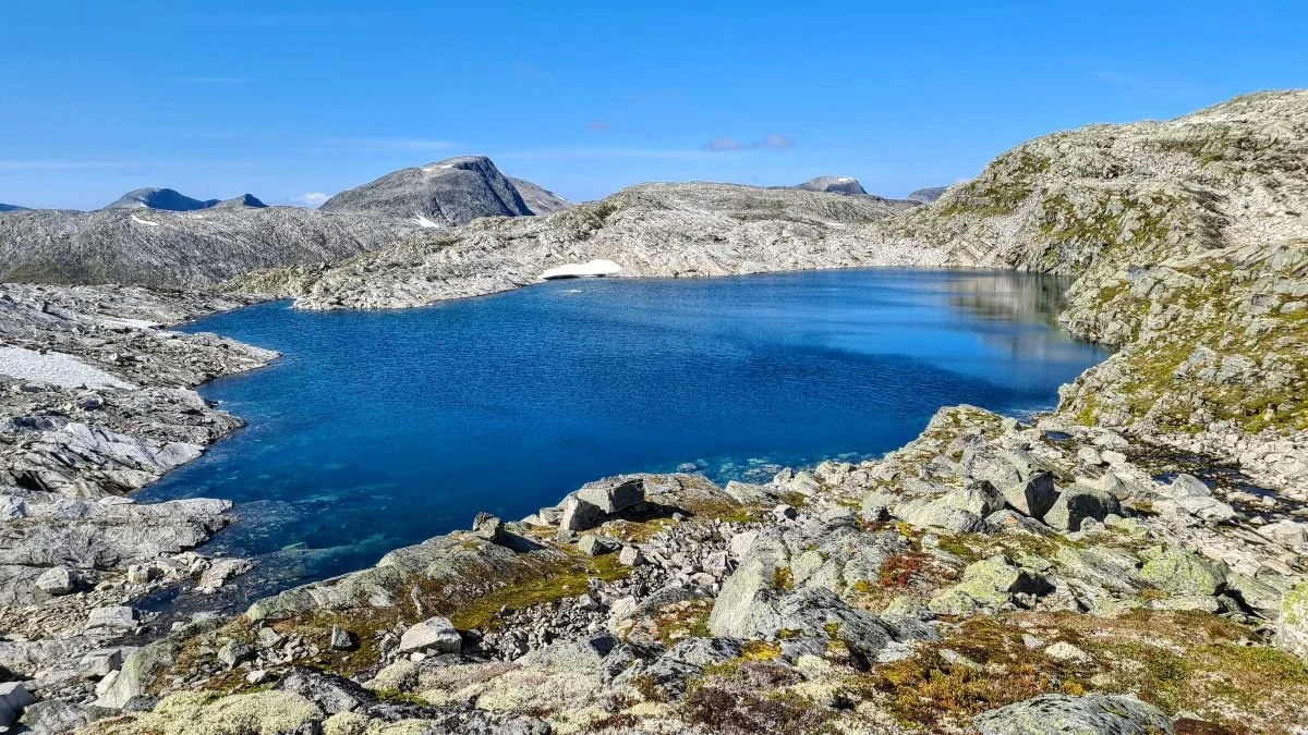
Gråsivatnet
On the right-hand side of Gråsivatnet, you may be able to spot a small, grey cabin. It was built in the late 1990s by a group of young people from Veslebygda and Flo, and was aptly named Ungkarshytta (The Bachelors' Cabin).
The cabin is open to anyone who needs shelter from the weather. It is also used by people hunting and fishing in the area.
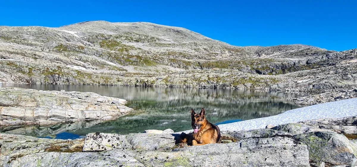
The dog enjoys a short rest by Gråsivatnet
The summit of Marsåhyrna offers magnificent
panoramic views
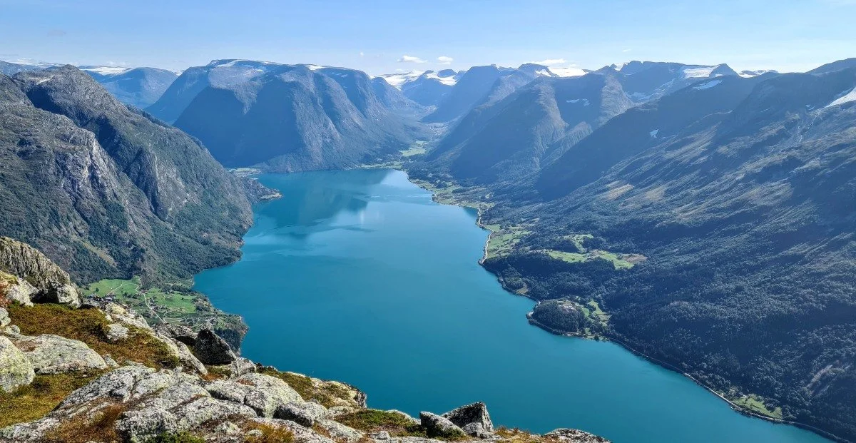
Looking down, Flo lies to the left and Strandsida to the right. In
the distance are Erdalen on the right and Hjelledalen on the left
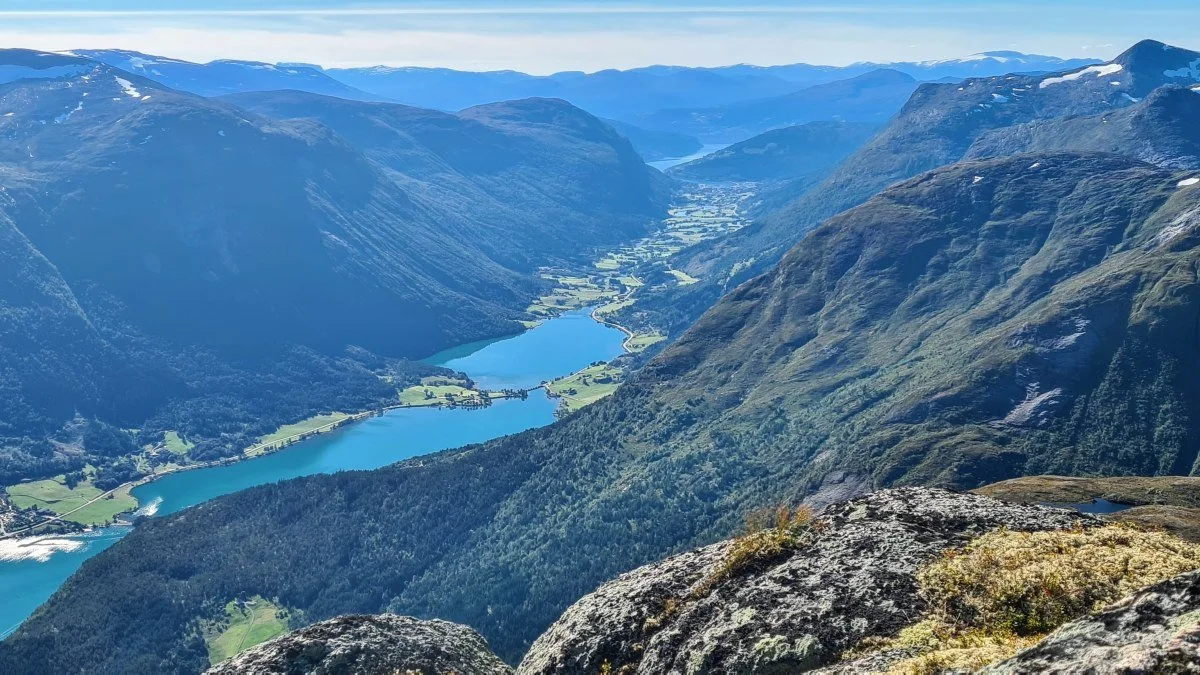
The view down the Stryn Valley, with Nordfjorden in the distance
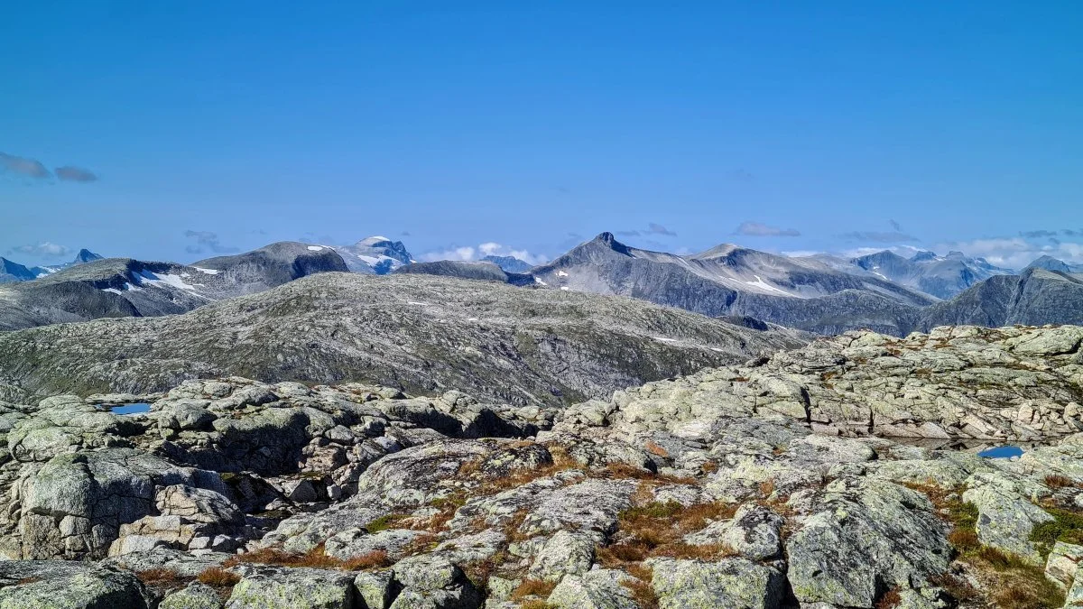
Looking northwest towards the Sunnmøre Alps. The slightly rounded, snow-covered peak just left of centre is Kvitegga (1,700 m), the highest mountain in the Sunnmøre Alps
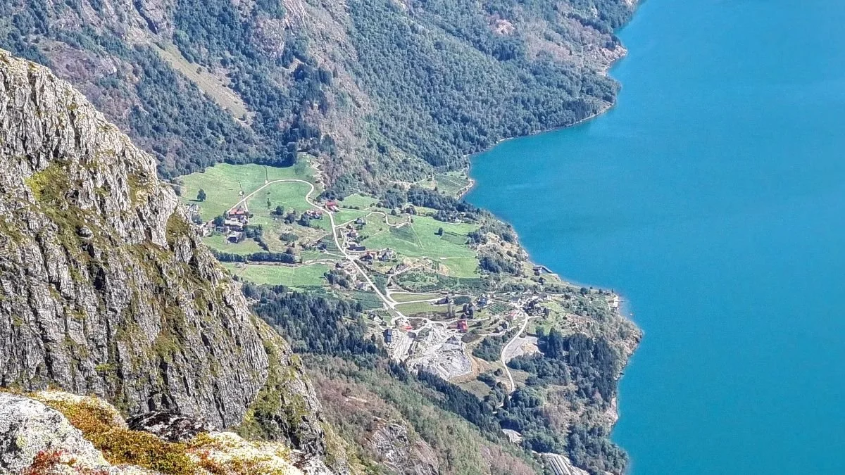
Looking down towards Flo
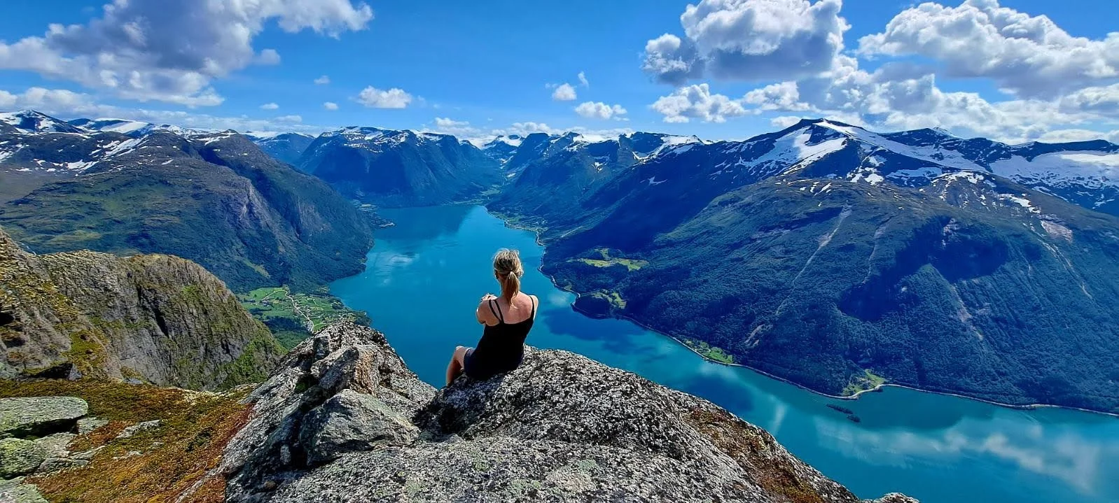
Photo: Sigrid Flo Standal
It is an unforgettable experience to sit on the edge of the cliff and take in the magnificent mountain scenery.
Even more exhilarating must it be to launch yourself into the air in a wingsuit or with a paraglider, as many people have done from this summit.
On your way back, it is well worth making a detour via Gråsivatnet and Ungkarshytta. Although this route is slightly longer, it is less demanding than the more direct route across Strandafjellet.
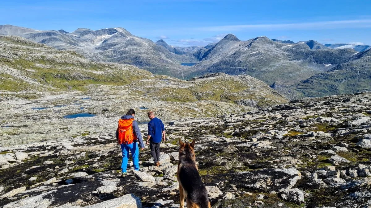
Many hikers continue across to Flofjellet and descend to Flo. If you choose this route, take care not to drift too far to the right. Aim towards Rinddalsvatnet (lake), which can be seen in the distance. See the photo above.
Photos: Rune Skaar
Text: Asbjørn Berge, 2026
Sources: Leif Fure and Rune Skaar