


Hike to Nautebreen
Nautebreen once lay here. Today, the glacier has completely disappeared.
Nautebreen has a dramatic history. For many decades, the farmers who used the summer farms in Skjerdingsdalen had to drive their livestock across this glacier. It was a long and demanding journey that took two days. At that time, the route through Glæra was impassable.
In the autumn of 1851, a violent storm struck the herd as they were crossing the glacier on their way home. Twenty dairy cows were left behind on the ice.
After this tragic event, work began on blasting a narrow path through Glæra, a steep mountain section between Jøl Bridge and Skjerdingsdalssetra. In 1853, they were able to drive the livestock along this route for the first time.
Difficulty: Demanding
Distance: 7.5 km one way
Elevation gain: 750 metres
Duration: 8 hours round trip
Season: Spring–autumn
Parking: Parking is available at Skjerdingsdalssetra
Note: The trail is cleared only for the first kilometre. You will need to read the map carefully to find your way.
If you are experienced and in good physical condition, you may continue across Nautebreen to Glomsdalen. This makes for a longer and more demanding hike.
There is no mobile phone coverage on the hike.
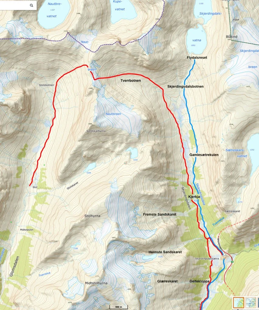
The blue line shows the trail towards Skjerdingsdalsbotnen and Flydalsreset. The red line shows the old summer farm route across Nautebreen.
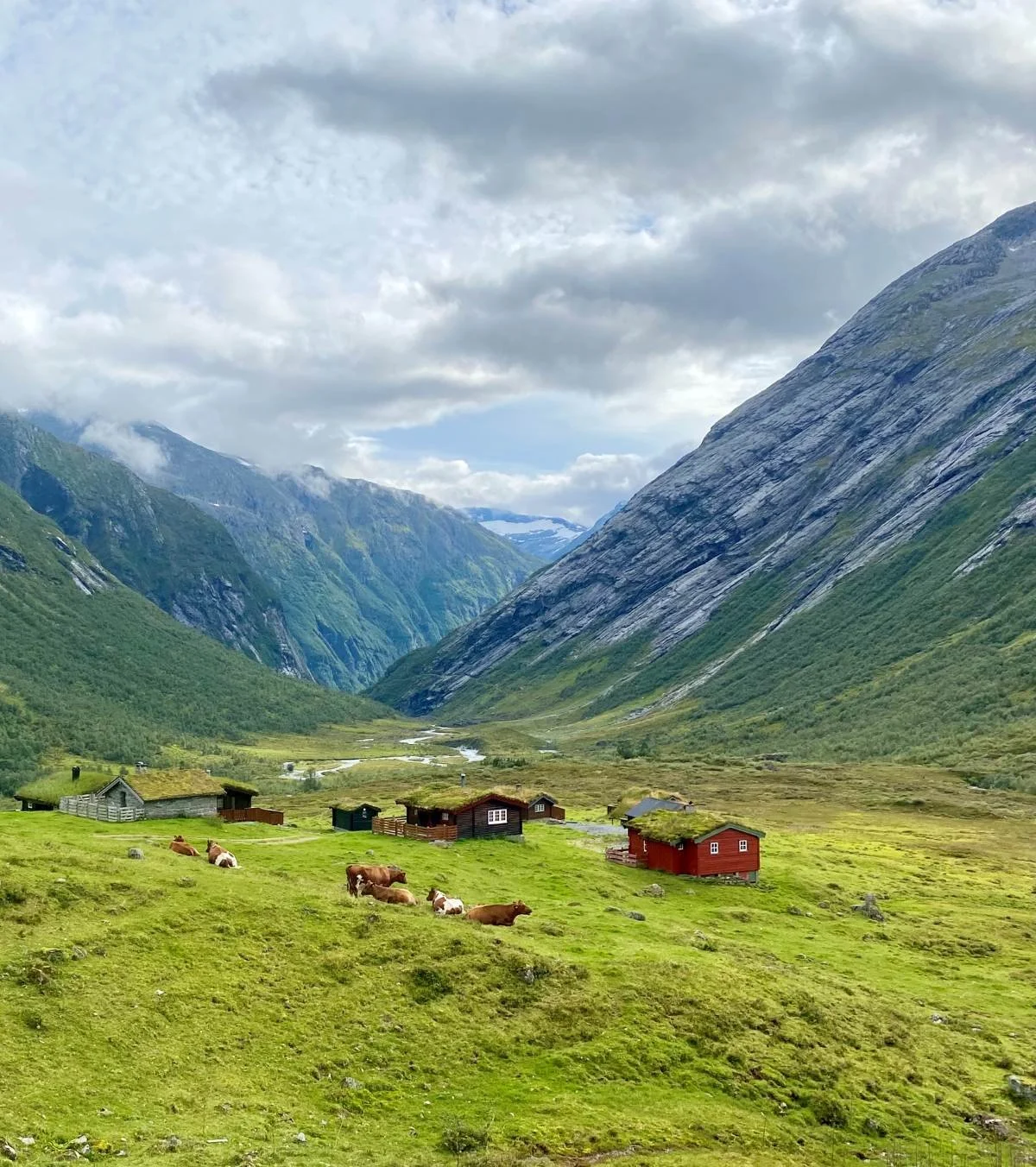
Photo: Asbjørn Berge
Skjerdingsdalssetra. We are looking towards Glæra.
Trail Description
You park at the parking area beside Rv. 15, above the cabins at Skjerdingsdalssetra. From there, you walk diagonally downhill into the valley towards the flatter terrain below.
After about 600 metres, you pass a relatively new and solid bridge across the Skjerdingsdøla river. Here, you must make an important choice.
If the river is high, the safest option is to cross the bridge and follow the trail on the west side of the river. On this side, the forest is denser and the trail is not cleared, which can make route-finding difficult.
The east side is easier to walk, but you will need to wade across the river when you reach Skjerdingsdalsbotnen.
The route to Skjerdingsdalsbotnen on the east side of the river is described here.
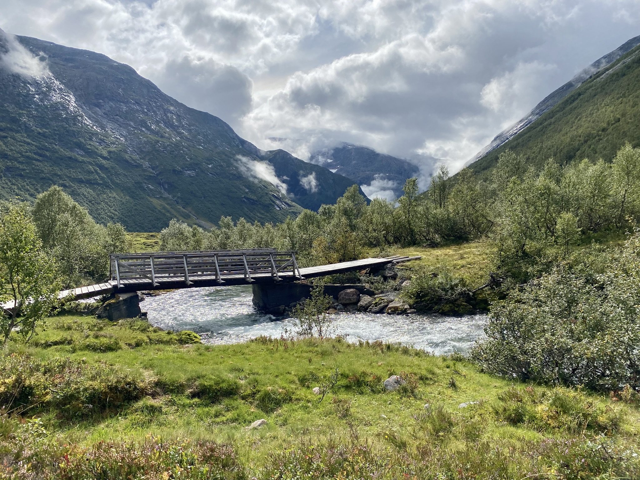
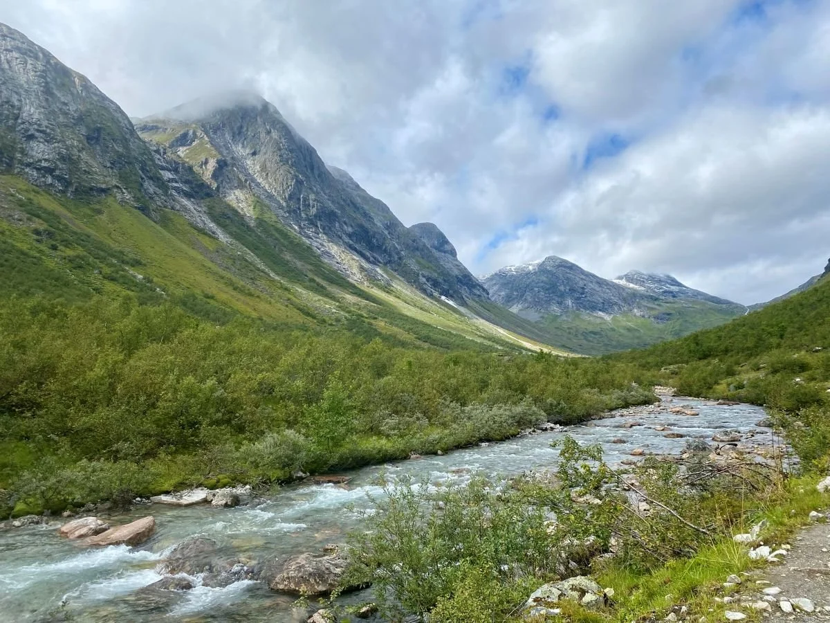
Photo: Asbjørn Berge
Here, you cross to the west side of the river and follow a well-cleared trail for some distance further into the valley.
Photo: Asbjørn Berge
The trail towards Skjerdingsdalsbotnen follows the river. You can walk on either side, but the trail on the right-hand side of the river (the east side) is the easiest to follow.
In the photo above, we can see Flydalsreset at the far end of the valley on the right-hand side. In the background to the left, we can see Tverrbotnen, which leads up to Nautebreen.
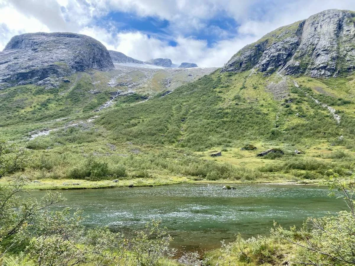
Photo: Asbjørn Berge
When walking on the left-hand side of the river (the west side), you will pass the open terrain behind this small tarn. It can be difficult to find a good trail further on.
In the background, we can see Fremste Sandskaret, which leads up to Stolshyrna (1,646 m).
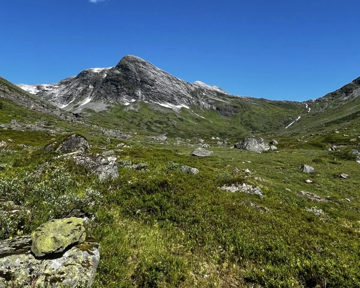
Photo: Ane N Grønfur
This is Skjerdingsdalsbotnen. You can see Flydalsreset to the right, while Tverrbotnen lies in the valley leading up to the left. Nautebreen lies beyond Tverrbotnen.
When you reach the gully running down from Tverrbotnen, turn left and climb about 200 vertical metres until the terrain levels out. This area is known as Tverrbotnen. There is a small tarn here.
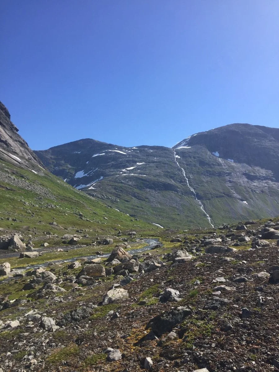
Photo: Ane N Grønfur
Tverrbotnen with a view down towards Skjerdingsdalsbotnen. Flydalsreset to the left.
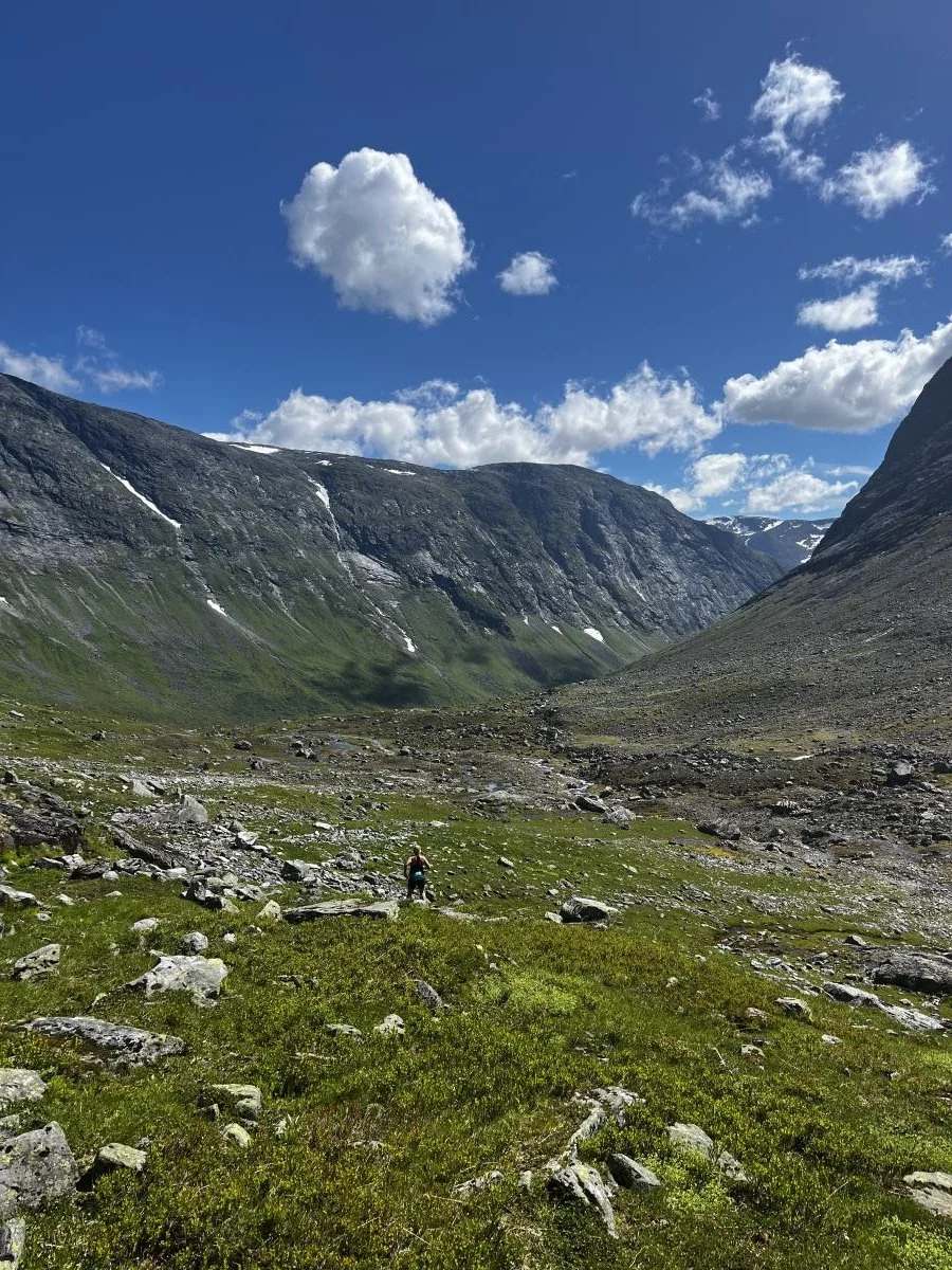
Photo: Ane N Grønfur
On the way down into Tverrbotnen, 1,000–1,100 metres above sea level.
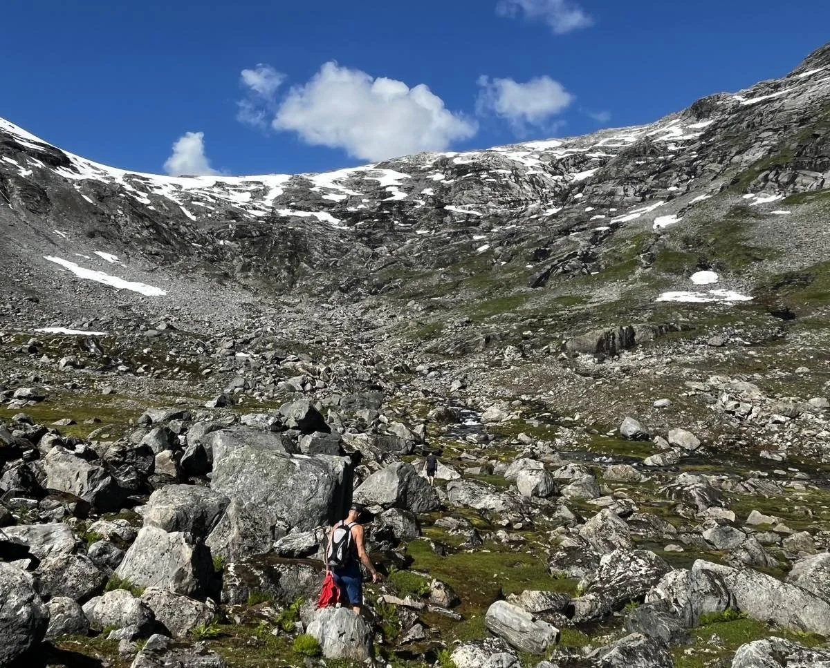
Photo: Ane N Grønfur
Today, Nautebreen has almost completely disappeared, but in the days when the farmers drove their livestock across the glacier, it most likely extended all the way down to this area at the upper end of Tverrbotnen.
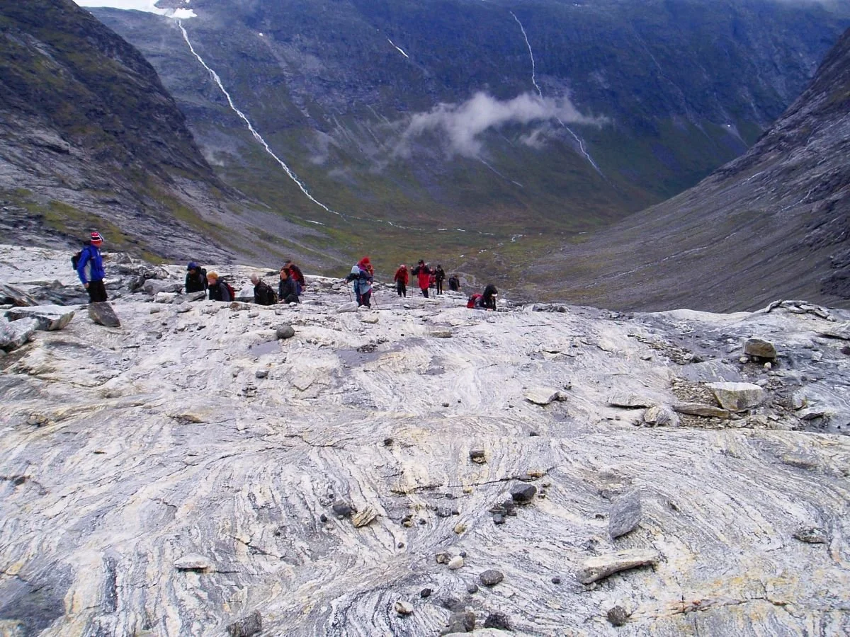
Photo: Even Nesje
This photo was taken in 2004. We can see that the glacier had only recently covered the smooth rock slabs here at the top of the pass, 1,350 metres above sea level. The view looks towards Skjerdingsdalen.
Photo: Even Nesje
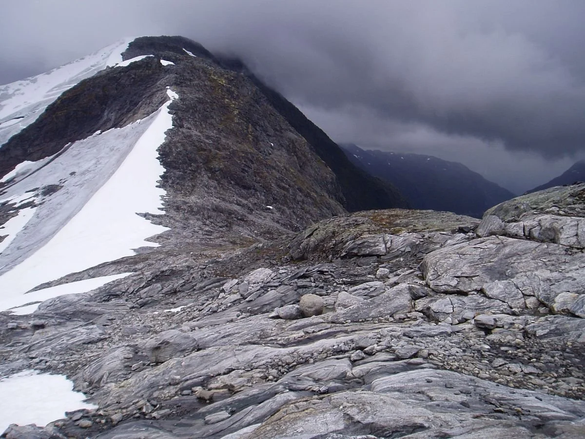
Nautebreen. Sandskarhyrna (1,690 m) in the mist in the background.
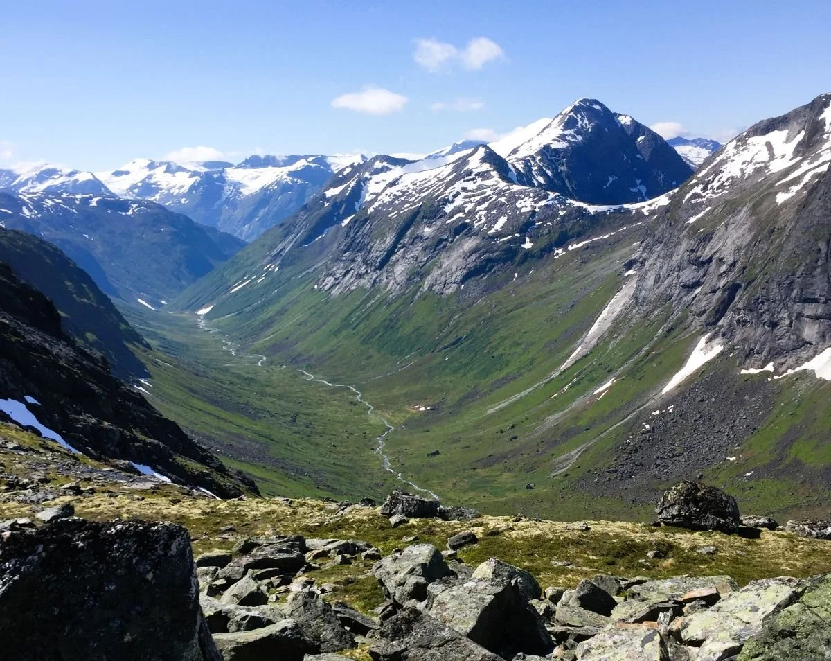
Photo: Ane N Skåre
View towards Glomsdalen. Rinddalshyrna (1,677 m) to the right. Tindefjell (1,775 m) can be seen on the skyline slightly to the left in the photo.
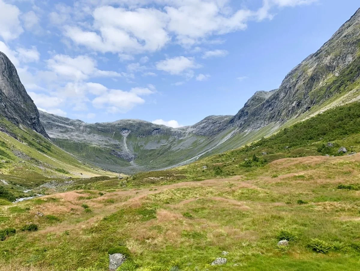
Photo: Asbjørn Berge
View towards Stolsbotnen. The route across Nautebreen passes through the gap in the background to the right of the photo.
If you wish to continue into Glomsdalen, it is important to keep to the right along the ridge (the pass) and therefore go as far into Glomsdalen as possible before descending steeply towards Stolsbotnen.
You can read more about the old livestock route and other history connected to Skjerdingsdalen here.
Text: Jørgen Skåre and Asbjørn Berge, 2025