Hikes in Skjerdingsdalen
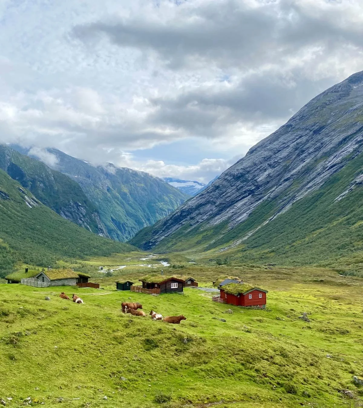
Skjerdingsdalen valley stretches approximately 9 kilometers due north from Jøl Bridge at the head of Hjelledalen. The old mountain farm road winds through the narrow valley along a deep gorge. In the section known as Glæra, the path is blasted out of the mountainside. Before 1853, this route was impassable. Back then, farmers had to drive their livestock on a detour of more than 20 kilometers, crossing the Nautebreen glacier at 1,400 meters above sea level.
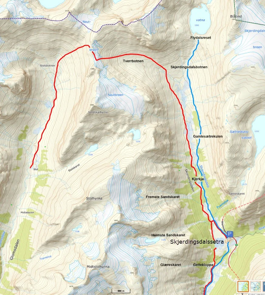
Beyond Glæra, the valley opens up, revealing the idyllic Skjerdingsdalssetra summer farm. Today, many cattle graze here, keeping the natural vegetation in check.
Note: A rockslide currently blocks the road through Glæra, and it is not advisable to attempt passage.
Currently, Highway 15 (Strynefjellsvegen) passes by Skjerdingsdalssetra, and there is a large parking area located at the farm.
-
The old mountain pasture road to Skjerdingsdalssetra
This is a spectacular mountain farm road with a long and fascinating history.
-
Hike to Skjerdingsdalsbotnen
A cleared trail runs along the eastern side of the Skjerdingsdøla river to the end of the valley, Skjerdingsdalsbotnen.
-
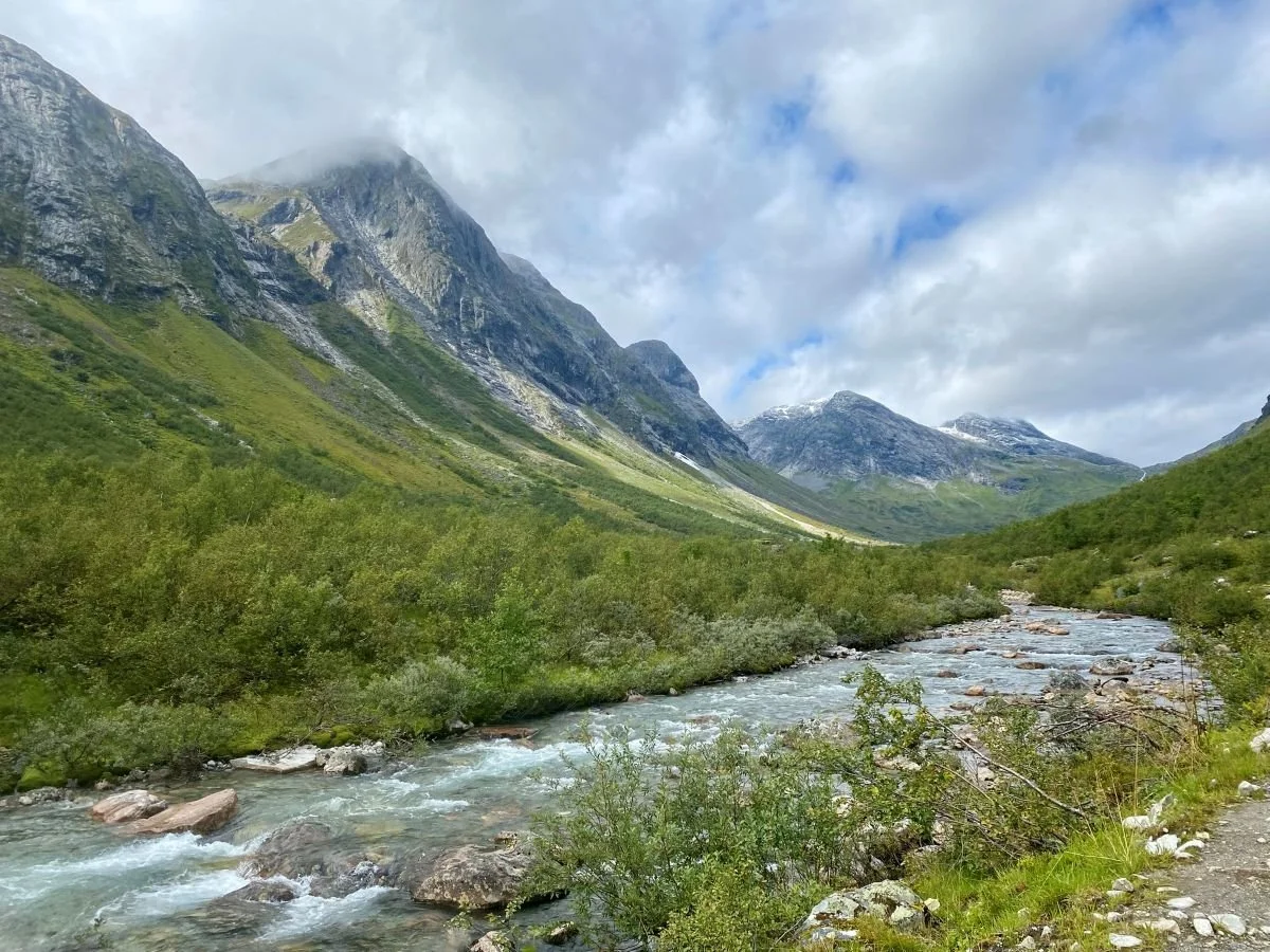
Hike to Nautebreen
A historic walk along a long and challenging livestock route.
Kart over turalternativ i Skjerdingsdalen