

Hike to Skaarsetra

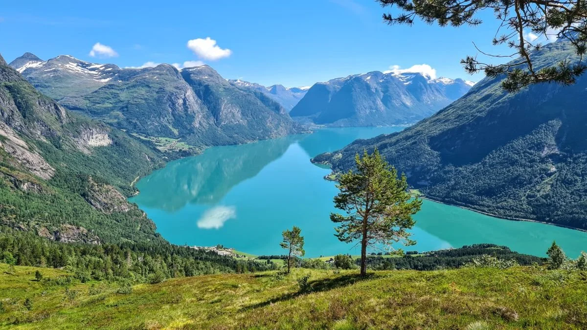
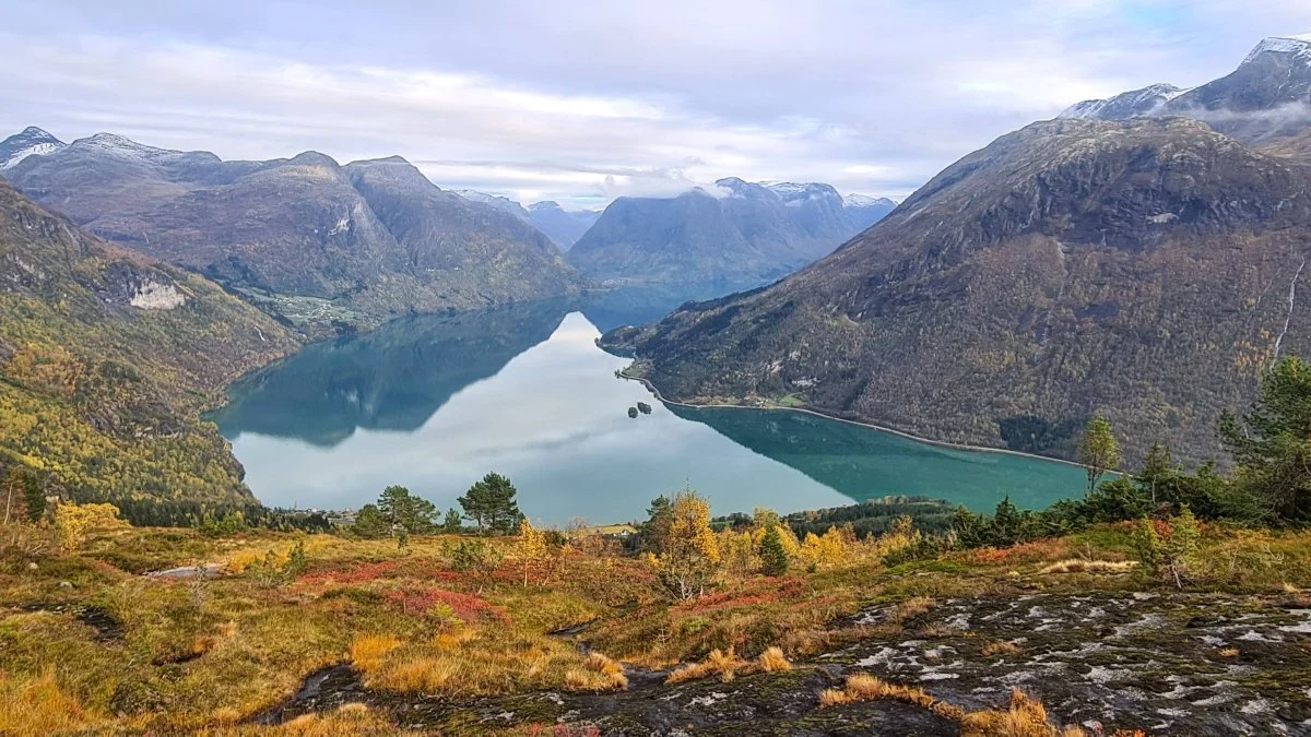
View from Skaarsetra
Skaarsetrais beautifully located at 600 meters above sea level. The trail has been well cleared, but in some sections it is steep to walk.
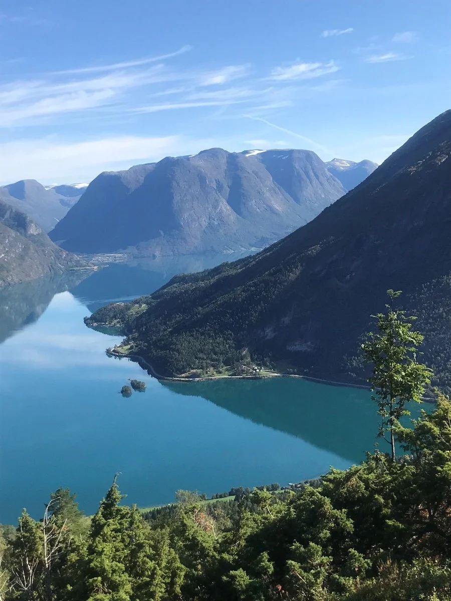
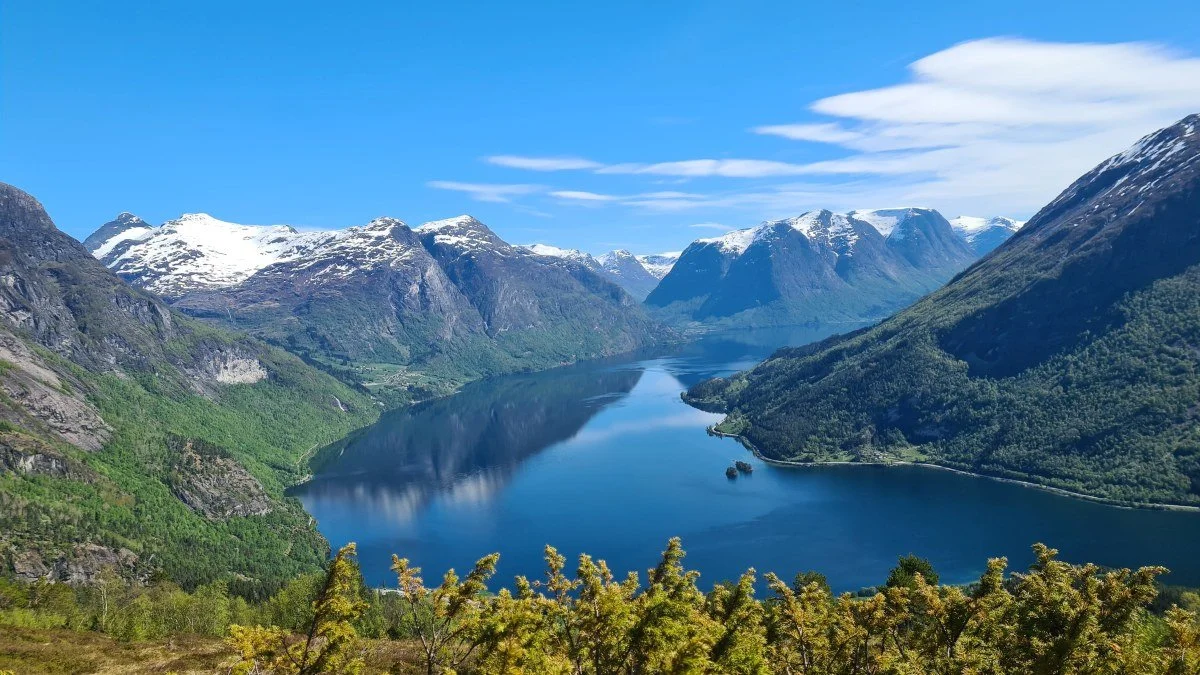
When you reach the mountain pasture, the landscape opens up, offering magnificent views of Oppstrynsvatnet and the surrounding mountains.
Some facts about the hike
Difficulty: Moderate. The trail has recently been cleared, but is steep in places.
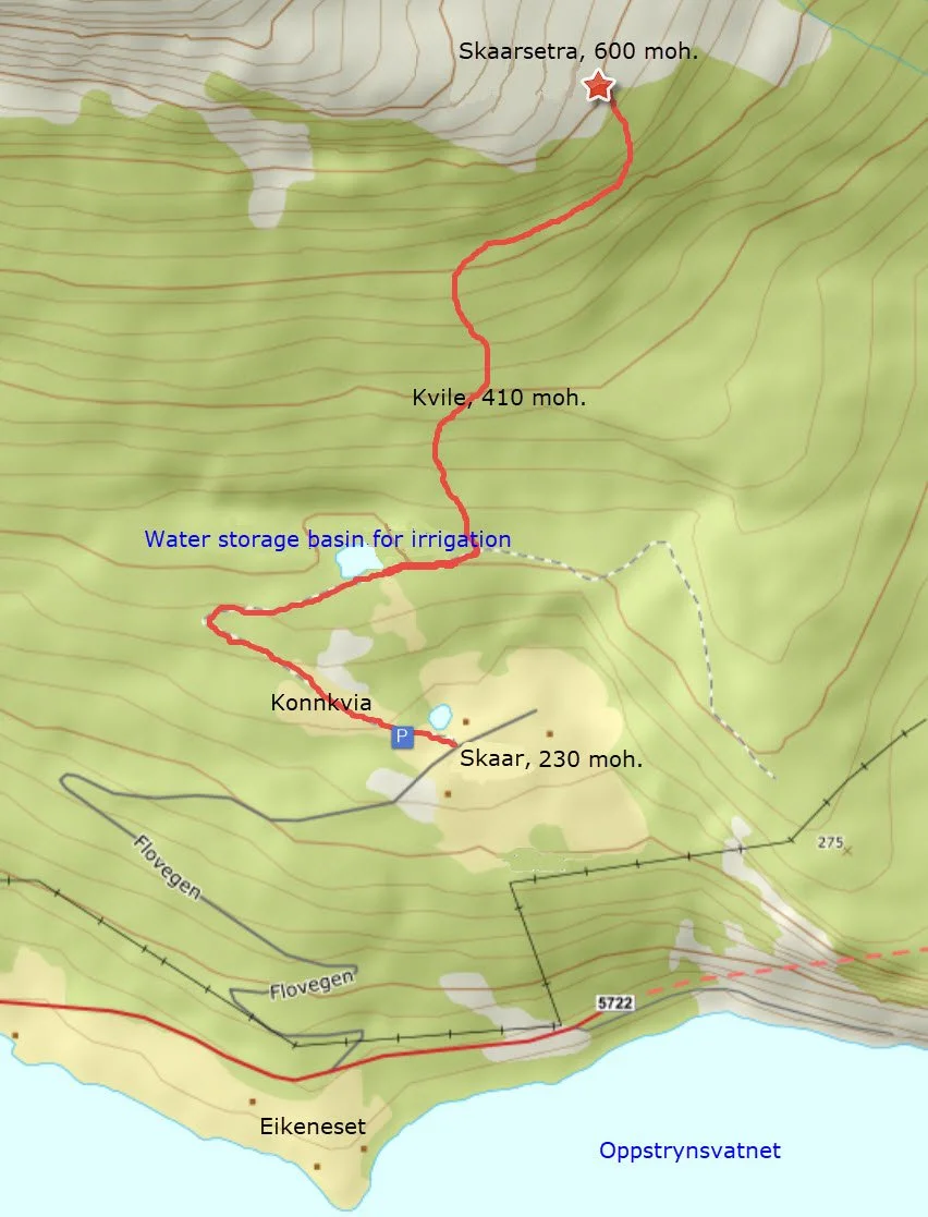
Distance: 1.7 km one way from the parking area at Skår
Elevation gain: 370 meters
Duration: 3 hours round trip
Season: Spring to autumn
Parking: Parking is available at the parking area at Skår
NB! There is mobile phone coverage throughout the entire hike.
Route description
When you arrive by car at the junction at Storesunde, turn off from National Road 15 (Rv. 15) and follow Flovegen for 2 km. At Eikeneset, turn off and continue uphill for 1.5 km to Skaar.
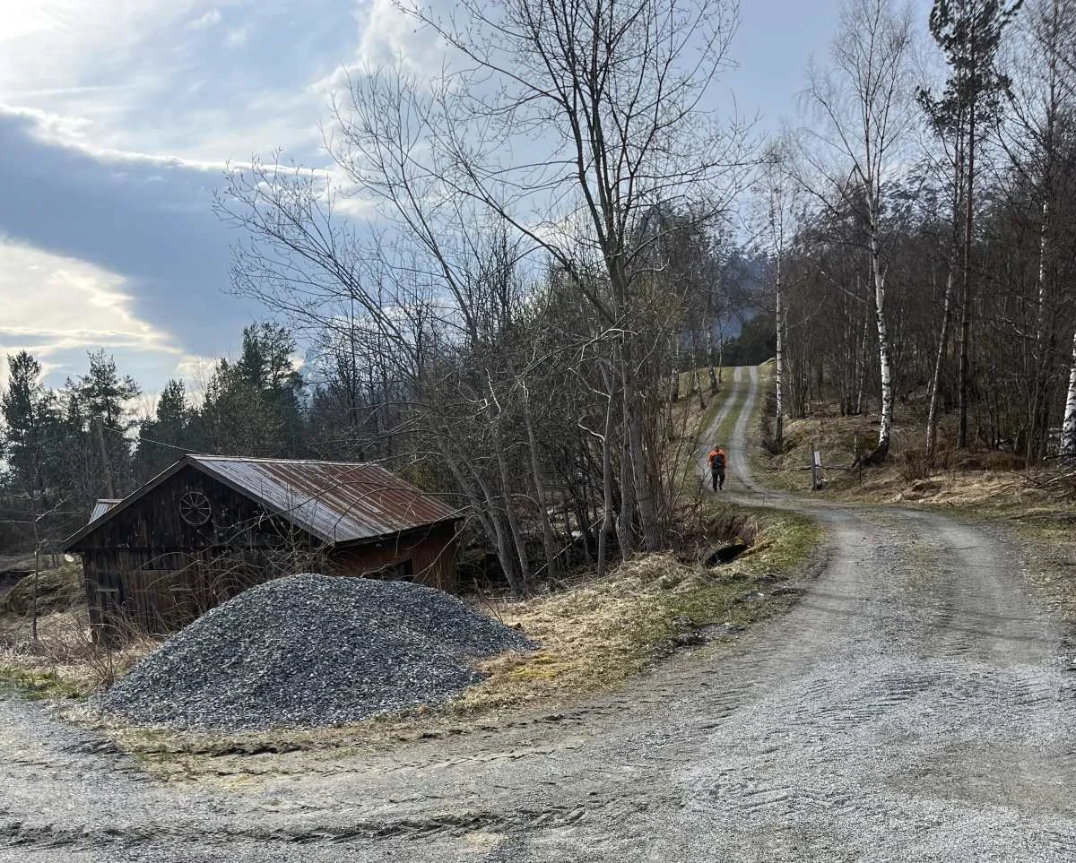
The image above shows where you can park. Drive to where the person in the picture is standing—you will see a parking sign there.
Follow the forest road, and after about 200 meters you reach Konnkvia. From here, there are fine views over Nedrefloen and down towards Stryn town center.
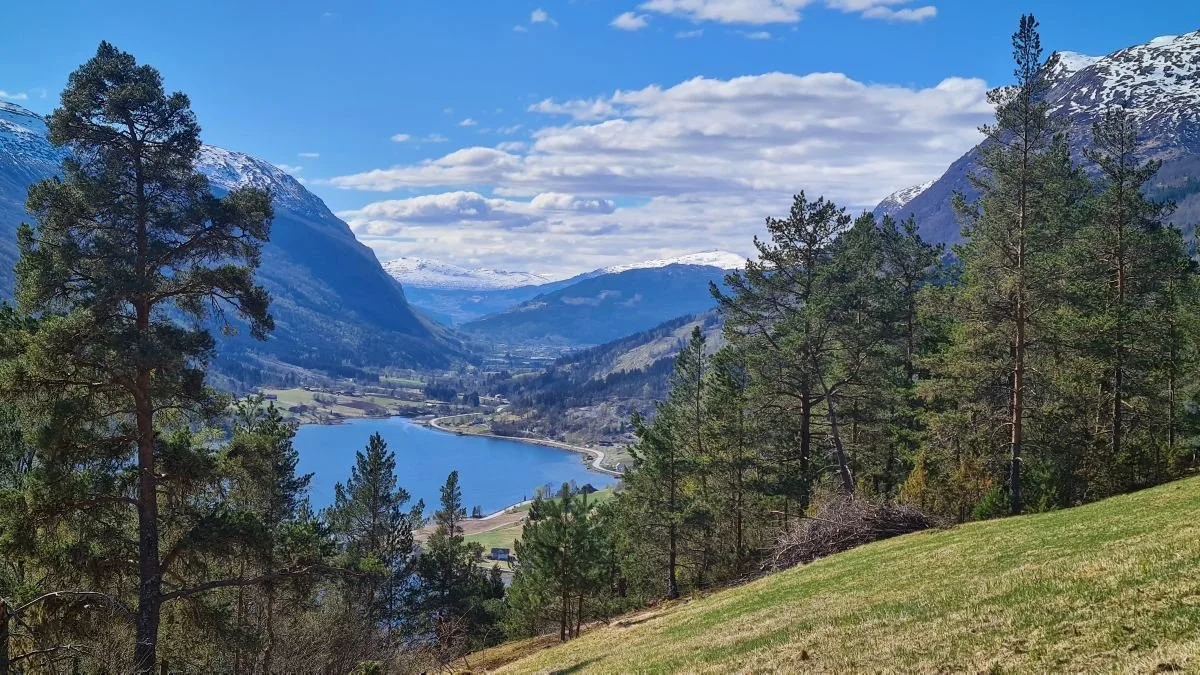
View from Konnkvia
After 600 meters, you reach a reservoir that is part of an irrigation system. It was excavated in 1980 in connection with the construction of the forest road.
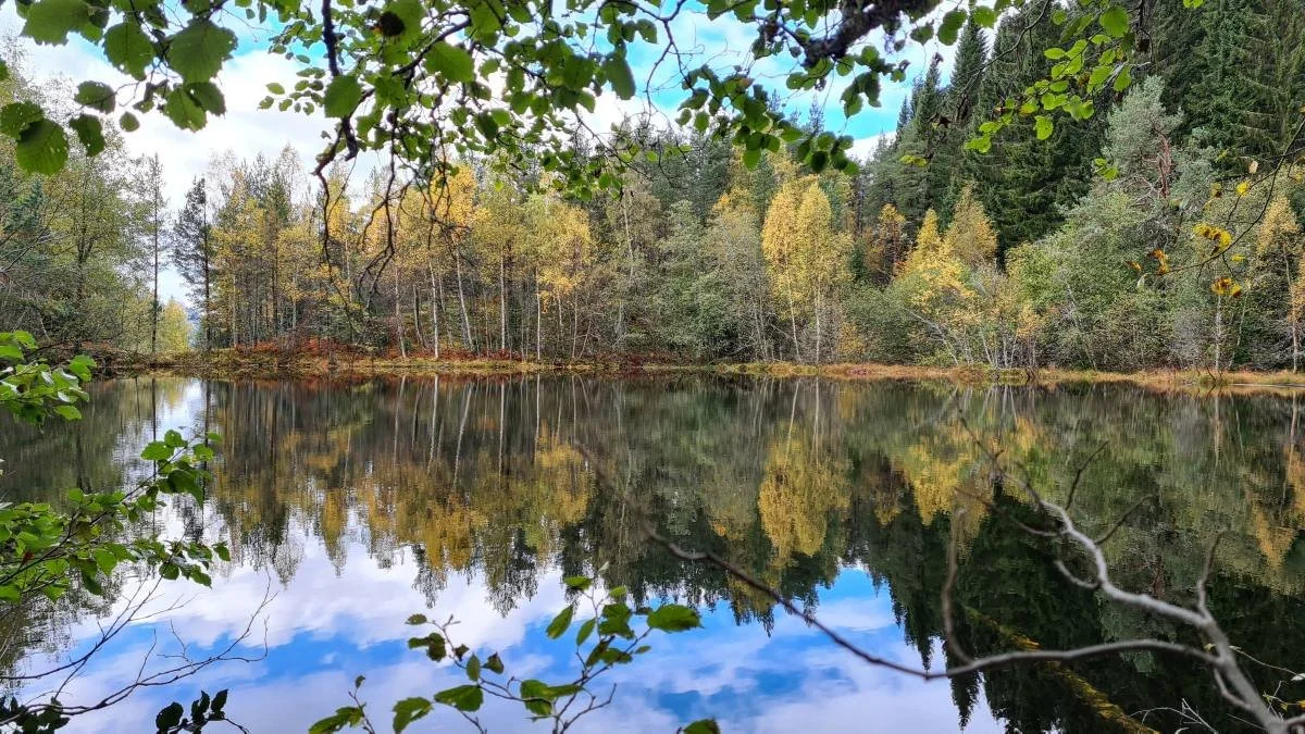
The reservoir in autumn colors
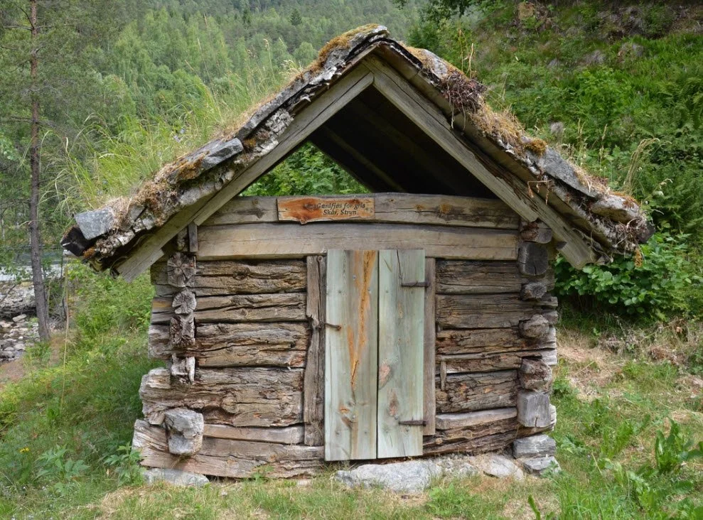
There used to be two small farm barns on the downhill side of the road by the reservoir. In addition, there was the building you can see in the picture. This is a pig house and is now located at the Nordfjord Folk Museum.
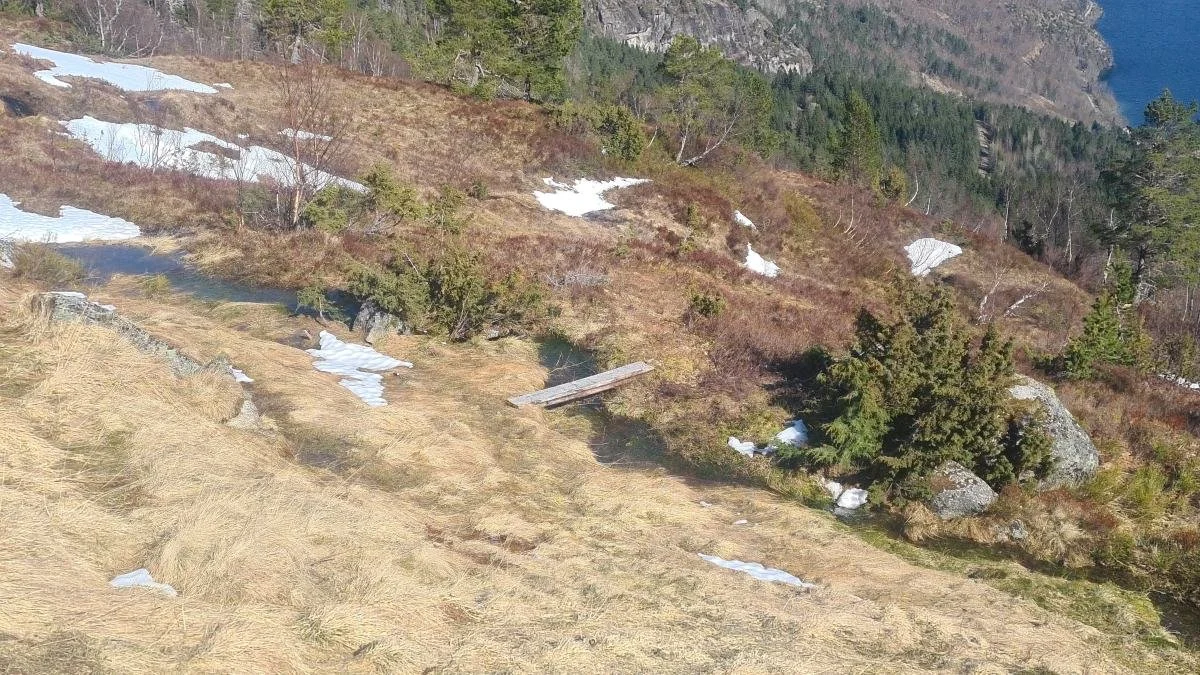
Continue past the reservoir and a short distance further. There you will see a sign pointing the way to Skaarsetra.
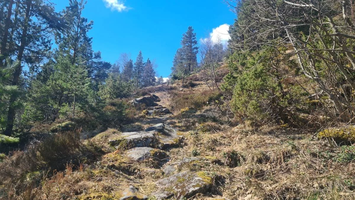
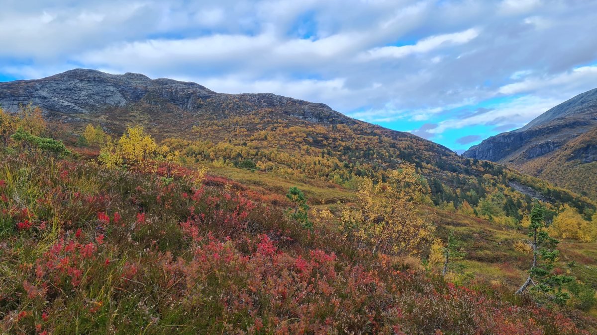
The trail takes you through varied terrain, winding steeply up through the woods. Occasionally, the landscape opens up, offering beautiful glimpses of the lake and the surrounding mountains.
View from the mountain pasture trail towards Holmevik, Årnes, Tunold and Hjelle
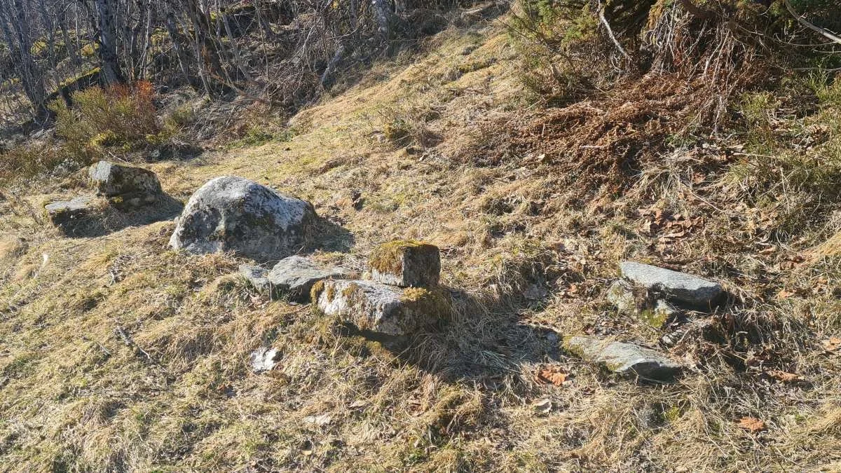
Here you are at Kvile (410 m a.s.l.), halfway to the mountain farm. Traditionally, this was a resting place on the trail. Stones have been arranged here for you to sit on. Three dairymaids or farmhands used to walk this trail, and each had a resting stone with two levels. They could sit on the lower stone and rest their heavy milk containers on their backs without taking them off.
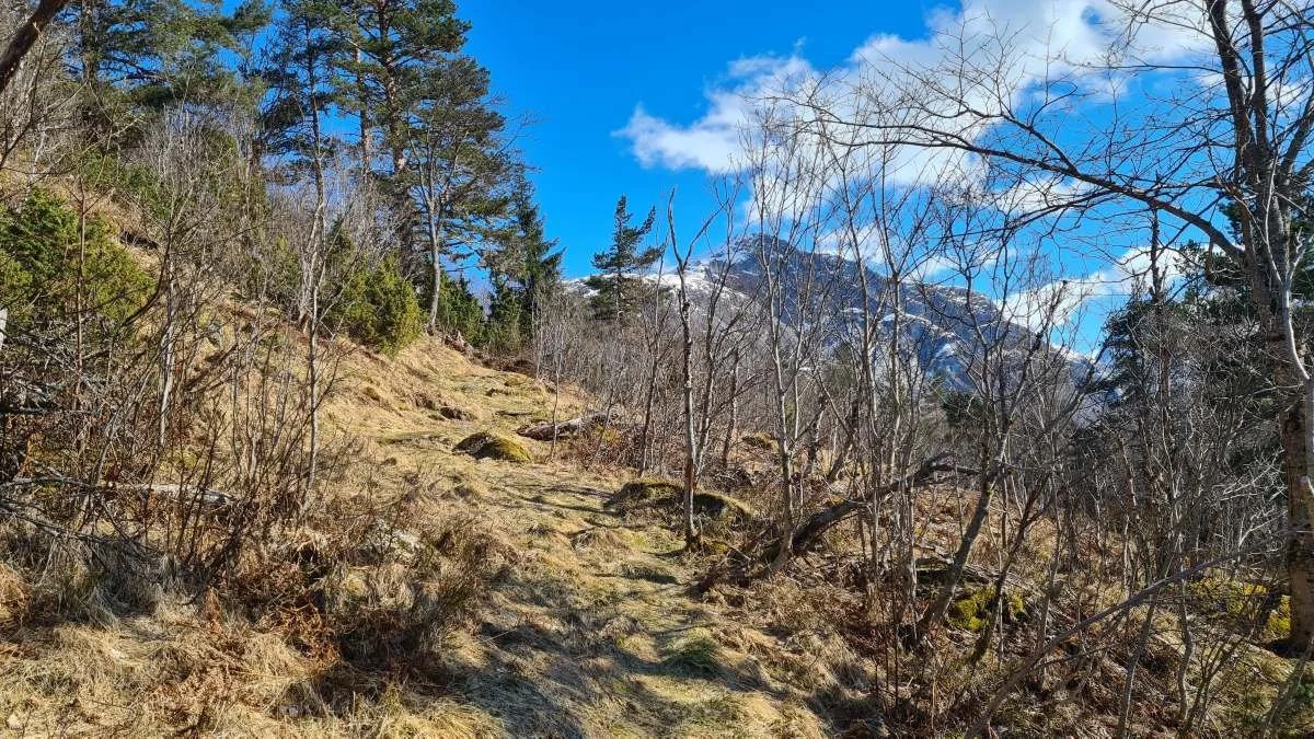
After passing Kvile, the terrain gradually opens up. As you climb a bit higher (approx. 550 m a.s.l.), you will round the mountain and reach the Skaardalen valley on the other side.
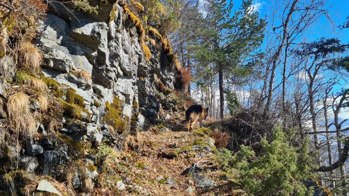
Here you round the mountain and enter Skaardalen. In the mid-1930s, funds were granted to improve the trail right here. Rock was blasted and a stone path was built past this dangerous section. Before that time, there was only a cable to hold onto.
You have now reached Skaarsetra
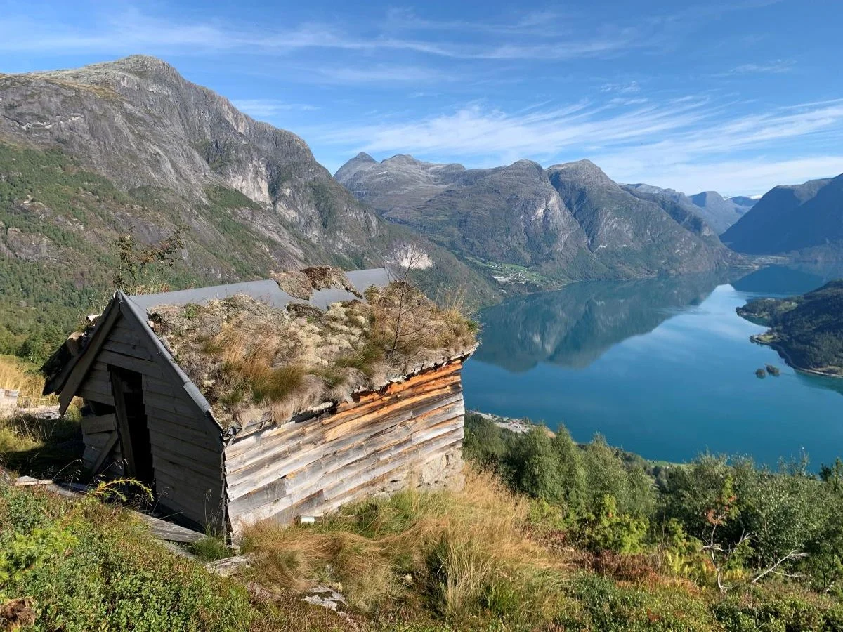
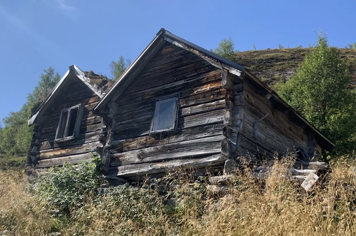
Ytste-Skaar-cabin
Ytste-Skaar cabin to the left. Eikenes cabin to the right
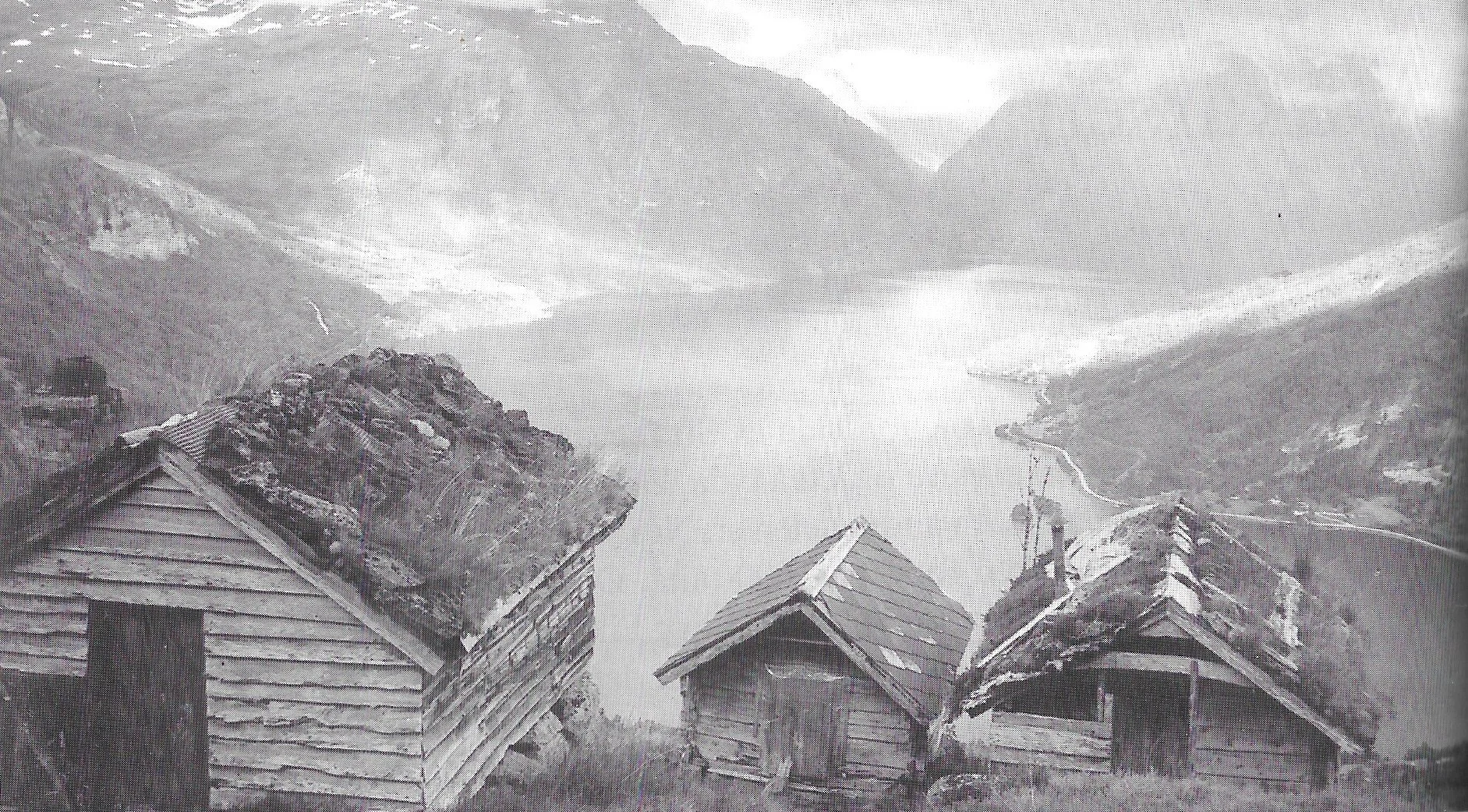
Photo: Bodil Dybevoll (- from the book Setrar i Oppstryn og Nedstryn / Mountain Farms in Oppstryn and Nedstryn).
Two farms at Skaar and one at Eikeneset used to have mountain farms up here. We see the Inste-Skaar cabin on the left, the Eikenes cabin in the middle, and the Ytste-Skaar cabin on the right. Today, only two of these cabins remain.
There has been no cow milking at Skaarsetra since 1947. Back when the farm was in operation, there were also two barns up here. They are now gone
Thirty meters below the cabins at Skaarsetra, a water channel flows from the Skaarelva river at the inner end of the Skaardalen valley, past the mountain farm and down to Skaar. This used to be the summer water supply for the farms at Skaar.
Every year, the channel had to be repaired after the ravages of winter. Both the Skaarelva river and the channel were a source of water for several farms in Veslebygda.
View from Skaarsetra
Skaardalen with Grøsvoregga to the left in the background
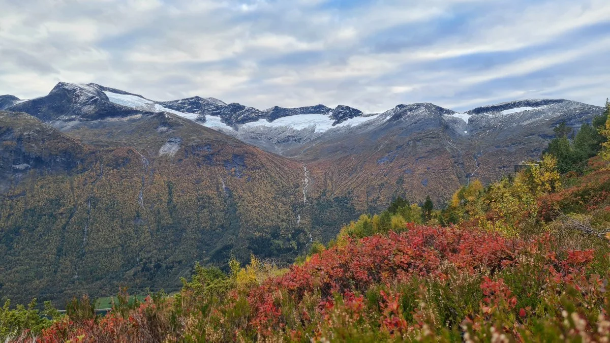
View towards Rjupedalen
The picture above shows the glacier at the end of Rjupedalen, situated between Storskredfjellet and Dispahyrna. A hundred years ago, the glacier was so large that it reached all the way to the edge where you can see Rjupa river appears in the photo.
Text og photos: Rune Skaar, 2026