

Hike to Kamperhamrane


Kamperhamrane with a view toward Sunndalen.
Grading: Difficult.
Length: 4.5 km one way. (From Sunndalssetra)
Elevation gain: 835
Time required: 6.5 hours round trip.
Season: Summer and autumn
Toll road: Payment at the cash register or Vipps
Parking: You can park at the starting point right by the gate/trail or in the parking lot between Haraldsfallet and the Sundal farm. At this parking lot there is also an information sign for Jostedalsbreen National Park.
Note: This hike starts at Sunndalssetra, and has a shared path 600m into the valley towards Sognskarhynna. Here you come to a fork in the trail, where you should take the path to the left. This is also well signposted.
There is no mobile coverage on the hike!

The orange line shows the route over Kamperhamrane.
Hike Description
Tf you continue along the valley from Sunndalsetra towards Sognskarhynna, you will come to a path section about 600m from the setra. Here the path splits into two valleys that go towards Kamperhamrane and towards Sognskaret. The valley and the path towards Kamperhamrane go straight ahead from this path section, in an easterly direction.
Up towards Kamperhamrane, the path is partly laid out in stone steps. These stone steps were restored by a work team with Sherpas in 2015-2016. The highest point on the path over Kamperhamrane towards Raudalen is at about 1300 m above sea level. A regular hiker should expect that this trip from Sunndalssetra to the highest point on the path will take about 3 hours, and the return to the setera about 2 hours. A short distance past the highest point on the path is a large cairn with a nice view eastwards towards Øvre Leirvatnet and Raudalen.
At the western end of Raudalsvatnet there is a DNT hut called Skridulaupbu. It is considered a good day trip to walk between Sunndalssetra and Skridulaupbu.
Responsible for text and photos: Tor Guddal
Some Photos From the Hike
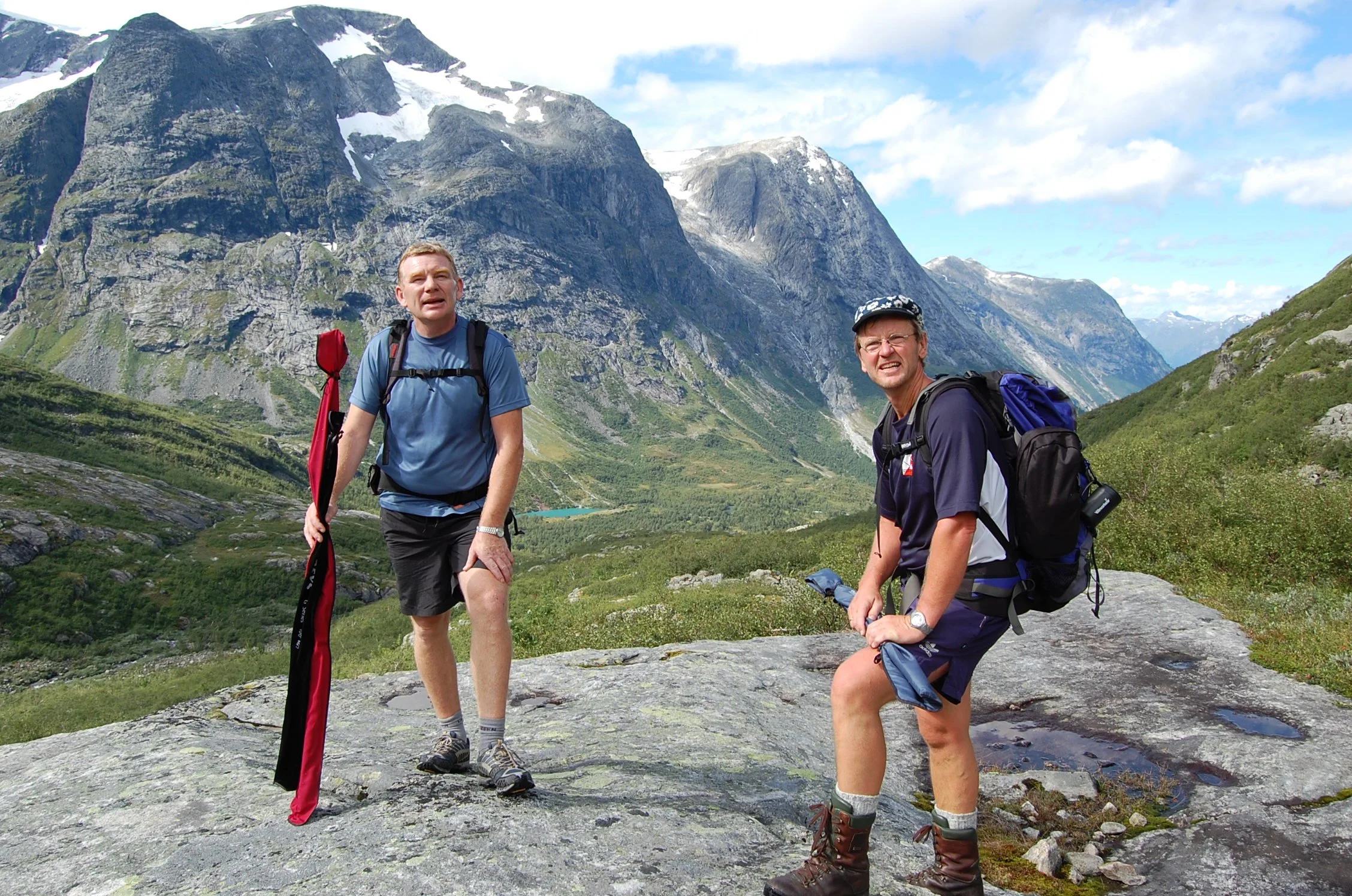
Here we are in Kupene on our way to Kamperhamrane Sunndalen, back to the right Sognskaret, back to the left Stillevatnet back in the middle
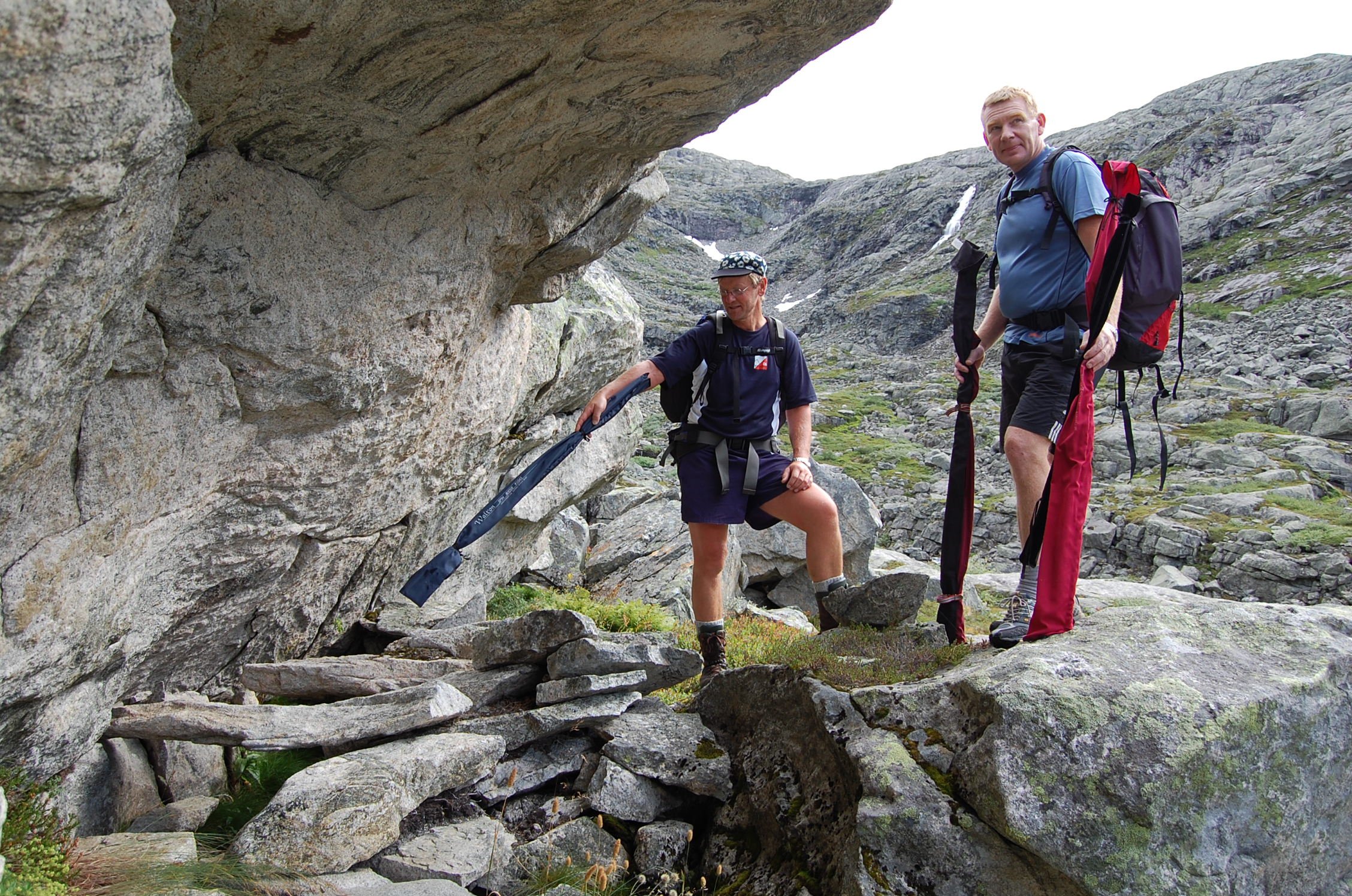
Here the guys are studying a "læger" (old resting place)
View from Kamperhamrane – westward
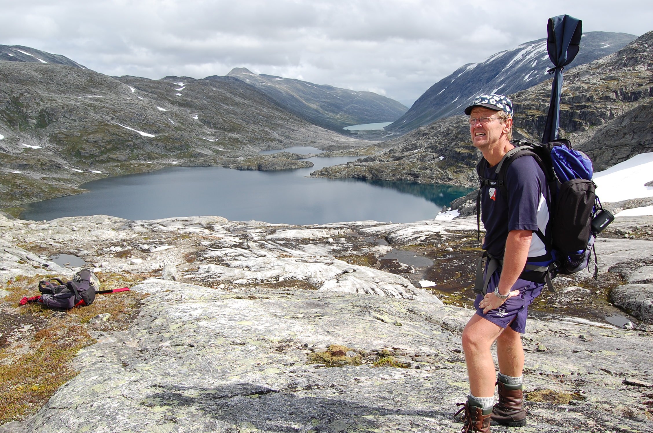
View from Kamperhamrane – eastwards